




Via ferrata
ne, 9.9.2018, 15:53
 Itálie
 Slovinsko
Logged on Vrcholovka 2x in total. Vrchol Prestreljenik / Monte Forato was added here by Martin Horáček and info was completed by Jiří Králík.
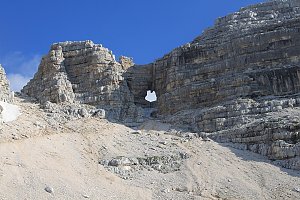
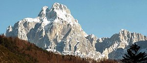
The name of this mountain is somewhat amusing and means "shot through". The reason is the large rock window in the western ridge of the mountain. The Italian name for Prestreljenik is Monte Forato. There is also a tale about this window describing a devil who, in thick fog and at full speed, crashed into the mountain and created a large hole with his horns...
Otherwise, Prestreljenik is the second highest mountain in the sub-group of the Kanin Julian Alps, surpassed only by Visoki Kanin / Monte Canin. Due to the cable car from Bovec (Slovenia) and also from Sella Nevea (Italy), Prestreljenik is very frequently visited. In fact, true climbers often take it as a side trip when heading to other peaks, while ordinary hikers only jump to the summit as an addition to their cable car trip.
From the summit of Prestreljenik, you can enjoy a super panorama.
Besides the summit itself, tourists often visit its window. The ferrata climbs from the south to the window, but unfortunately, it also ends there. The rocks from the window towards the summit are too hard for a regular hike (UIAA II ascent).
There is no chalet on the peak.
Peak is not stroller accessible.
There are views from the peak.
There is no cable car to this peak.
No special equipment is required for this summit.
Peak is freely accessible.
Nearest peaks: Zelena glava (2268 m, 0.5 km) Bila Pec (2143 m, 1.9 km) Lopa/Monte Leupa (2404 m, 1.9 km) Litter Laške Planje / Lasca Plagna (2448 m, 2.9 km) Big Baba / Baba Grande (2161 m, 3.7 km)
 Výstup na Visoki Kanin
 Výstup na Kanin z městečka Bovec
 Visoki Kanin cestou Alta via Resiana
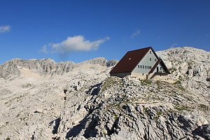 Výstup na vrchol Črnelska Špica
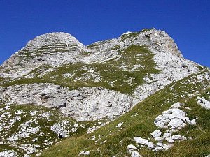 Túra z Bovce k vodopádům Virje a Boka
 Výstup na vrchol Rombon
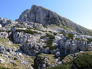 Lehká procházka Bovšskou kotlinou
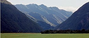 Výstup na vrchol Jerebica
 Výstup na Jof di Montasio z jihu
 Výstup na Jof di Montasio ze severu
Táhlý výstup na vrchol Kobariški
Túra do kopců okolo Lago del Predil
Okružní výstup na Monte Nabois aneb krále údolí Valbruna
Výstup z údolí Saisera na vrchol Jôf di Somdogna
 Bovec › East
 Bovec › South
 Sella Nevea: Kanin ski resort - View of Prestreljenik
 Chiusaforte: Sella Nevea - Rifugio Celso Gilberti
 Bovec › North-East
 Chiusaforte: Friuli Venezia Giulia - Sella Nevea
 Cregnedul: Sella Prevala
 Bovec: Log pod Mangartom
 Iôf di Montasio › South: Kanin − Prestreljenik
 Iôf di Montasio › North: Jôf di Montasio

| today | tomorrow | day after tomorrow | |
|---|---|---|---|
| Dawn: | 6:10 | 6:12 | 6:13 |
| Sunrise: | 6:41 | 6:43 | 6:44 |
| Sunset: | 16:58 | 16:56 | 16:55 |
| Dusk: | 17:29 | 17:27 | 17:26 |

