

Hiking, 23 km
2.8.2026
 Slovensko
Banskobystrický kraj
Logged on Vrcholovka 79x in total. Peak information here was completed by krupjan, Martin Matějka a Alexandr Starý.
Chabenec is part of challenge: Váh Basin
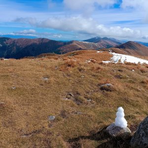
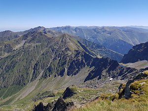
A prominent peak of the main ridge of the Low Tatras. The site of a tragedy at the end of 1944, when dozens of insurgents participating in the Slovak National Uprising perished on the slopes of Chabenec while crossing the ridge of the Low Tatras.
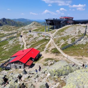
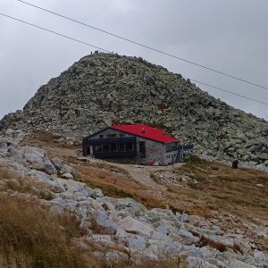
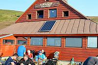
There is a chalet on the peak.
Peak is not stroller accessible.
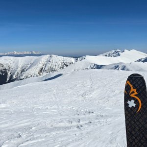
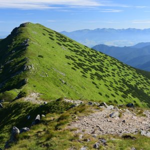
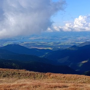
There are views from the peak.
There is no cable car to this peak.
No special equipment is required for this summit.
Peak is freely accessible.
Nearest peaks: Chabenec SZ (1951 m, 0.3 km) Kotliská Z2 (1903 m, 0.9 km) Ostredok (1842 m, 1 km) Zadná Priehyba (1865 m, 1 km) Kotliská Z (1931 m, 1.5 km) Kotliská (1937 m, 1.7 km) Kotliská JV (1914 m, 2 km) Kotliská SV (1835 m, 2 km) Krásna hôrka (1491 m, 2.1 km) Skalka (1980 m, 2.2 km) Spálená (1703 m, 2.2 km) Žiarska hoľa SV (1812 m, 2.3 km) Nad Pekelnou (1668 m, 2.7 km) Žiarska hoľa (1841 m, 2.8 km) Oprhlie (1654 m, 3.1 km) Krámec (1523 m, 3.4 km) Prašivý vrch (1426 m, 3.6 km)
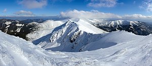 Přechod Karpatského oblouku - opuštěná hřebenovka za humny
 District of Liptovský Mikuláš: Chopok 2024 m.n.m.
 District of Liptovský Mikuláš: Podturen: Demänovská Dolina, Jasná North - Jasná - Luková
 District of Liptovský Mikuláš
 District of Liptovský Mikuláš › South
 Liptovská Teplička
 District of Liptovský Mikuláš: Podturen: Demänovská Dolina, Jasná North - Jasná - Repiská
 District of Liptovský Mikuláš

| today | tomorrow | day after tomorrow | |
|---|---|---|---|
| Dawn: | 6:41 | 6:42 | 6:44 |
| Sunrise: | 7:13 | 7:14 | 7:16 |
| Sunset: | 17:39 | 17:37 | 17:35 |
| Dusk: | 18:11 | 18:10 | 18:08 |