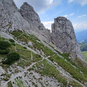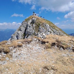

Via ferrata, 3 km
13.7.2026

 Rakousko
Logged on Vrcholovka 4x in total. Vrchol Daumling was added here by Martin Horáček and info was completed by Martin Horáček.
This via ferrata in Nassfeld is a must for all ambitious mountain enthusiasts! "Däumling" was opened in August 2014 and is located on the impressive Gartnerkofel massif. The secured via ferrata has a difficulty of B / C (with two points rated C) and is approximately 500 meters long. From the top station of the Gartnerkofel four-seater lift, a short hiking trail leads to the entry point. To reach the highest point of "Däumling," an elevation gain of 150 meters must be overcome. Climbers enjoy a magnificent view of the Carnic and Julian Alps from the route up to the summit of the rock tower. This is followed by a climb to the top of Gartnerkofel (about 20 min).
In addition to the stunning views of the Carnic and Julian Alps, "Thumb" offers several adrenaline-packed passages. The highlight is definitely the impressive "Nepal Bridge," which must be crossed at a dizzying height. It is 40 meters long, swaying beneath the climbers' feet, and therefore requires courage and a head for heights. Finally, it descends 100 meters to the left and right of the bridge.
Facts about the via ferrata:
Difficulty level B / C (at two points C) 500 meters length / 150 meters elevation Starting point: top station of the Gartnerkofel four-seater lift Complete climbing gear and helmet are required After the via ferrata, you can also climb to the top of Gartnerkofel (2195 m, approximately 20 minutes).
There is no chalet on the peak.
Peak is not stroller accessible.
There are views from the peak.
Partially
Via ferrata set
Peak is freely accessible.
Nearest peaks: Gartnerkofel (2195 m, 0.4 km) Gartnerkofel Südgipfel (2154 m, 0.4 km) Monte Carnizza / Garnitzenberg (1950 m, 1 km) Kammleiten / Kuhweger Kopfl (1998 m, 1.1 km) La Perla Hohe (1887 m, 1.2 km)
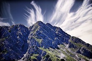 Výstup z údolí Saisera na vrchol Jôf di Somdogna
 Výstup na Jof di Montasio z jihu
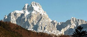 Výstup na Jof di Montasio ze severu
Okružní výstup na Monte Nabois aneb krále údolí Valbruna
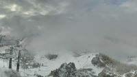 Hermagor-Pressegger See: Gartnerkofel
 Hermagor-Pressegger See
 Hermagor-Pressegger See: Hermagor, Nassfeld - Nassfeld
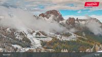 Hermagor-Pressegger See: Hermagor, Nassfeld - Tressdorfer Höhe
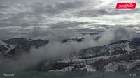 Hermagor-Pressegger See: Hermagor, Nassfeld - Gartnerkofel
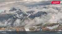 Hermagor-Pressegger See: Nassfeld - Tressdorfer Höhe
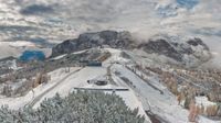 Hermagor-Pressegger See: Panoramakamera Tressdorfer Höhe
 Hermagor-Pressegger See › South-east: Sonnleiten
 Hermagor-Pressegger See: Nassfeld Sonnleitn

| today | tomorrow | day after tomorrow | |
|---|---|---|---|
| Dawn: | 7:04 | 7:06 | 6:07 |
| Sunrise: | 7:35 | 7:36 | 6:38 |
| Sunset: | 18:06 | 18:04 | 17:03 |
| Dusk: | 18:37 | 18:35 | 17:34 |