Bujačí vrch (1947 m a.s.l., Belianské Tatry)
Register and log summit


About peak Bujačí vrch
 Slovensko
Prešovský kraj
Logged on Vrcholovka 9x in total. Peak information here was completed by Bouřka, PA!WELL, Martin Matějka a Malek Belhadj.
Officially inaccessible, part of the Belianske Tatry reserve. Nevertheless, relatively easy to access via a path from both sides of the ridge. A suitable starting point can be the Plesnivec hut.
- Chalet/accommodation
-
There is no chalet on the peak.
- Stroller access
-
Peak is not stroller accessible.
- Views
-
There are views from the peak.
- Cable car
-
There is no cable car to this peak.
- Equipment
-
No special equipment is required for this summit.
- Accessibility
-
Bujačí vrch is, like other peaks of the Belianske Tatry, touristically inaccessible, even with a mountain guide!
Nearest peaks: Apoštoly (1955 m, 0.2 km) Predné Jatky (2012 m, 1 km) Košiare (2011 m, 1.1 km) Skalné vráta (1620 m, 1.1 km) Prostredné Jatky (1984 m, 1.2 km) Kozí chrbát (1601 m, 1.6 km) Prostredné Jatky (1947 m, 1.7 km) Rinias (1473 m, 2.1 km) Gáflovka (1626 m, 2.3 km) Kardolinsky vrch (1127 m, 2.3 km) Trails (1530 m, 2.6 km) Gáflovka S (1440 m, 2.8 km) Javorinka (1266 m, 3 km) Javorinka V (1251 m, 3 km) Tokáreň J1 (1200 m, 3.1 km) Tokáreň J2 (1208 m, 3.1 km) Tokáreň Z2 (1215 m, 3.1 km) Tokáreň Z1 (1212 m, 3.2 km) Tokáreň Z3 (1220 m, 3.2 km) Tokáreň (1224 m, 3.3 km) Veľká Svišťovka (2038 m, 3.5 km)
Routes nearby
(elevation gain 4000 m, 30 km)
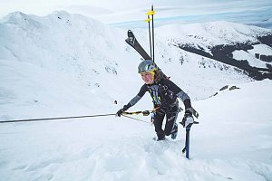 Přechod Tater - od Belianek po Roháče
(elevation gain 5700 m, 105 km)
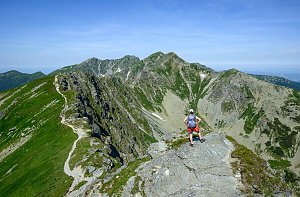 Výstup na Kežmarský štít
(elevation gain 500 m, )
 Jahňací štít – nejvýchodnější vrchol Vysokých Tater
(elevation gain 1300 m, 20 km)
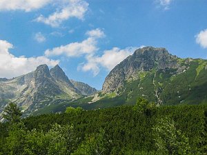 Letní lezecké výstupy na Lomnický štít a Žlutou stěnu
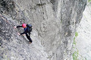 Tatranský expres - prodloužený víkend v Tatrách
(elevation gain 5303 m, 82 km)
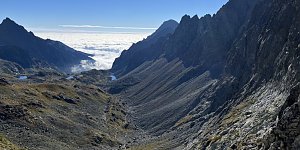 Slavkovský štít aneb vrchol v nedohlednu
(elevation gain 1450 m, 14 km)
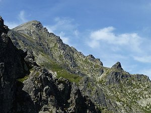 Dobrodružná turistika přes Priečne Sedlo
(elevation gain 1400 m, 21 km)
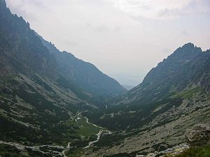 Přechod tatranské magistrály
(elevation gain 3600 m, 55 km)
Webcams
(1545 m a.s.l., 3.9 km)
 Dolina Zeleného plesa
(1549 m a.s.l., 3.9 km)
 Ždiar
(904 m a.s.l., 4.8 km)
 District of Poprad: Skalnaté Pleso chata
( 5.3 km)
 District of Poprad: Tatranská Lomnica - Hohe Tatra, Skalnaté pleso - Skalnaté pleso
( 5.3 km)
 District of Poprad: Lomnický štít 2634 m
(2533 m a.s.l., 5.3 km)
 District of Poprad: Lomnický štít
(-32768 m a.s.l., 5.4 km)
 District of Poprad: Zdiar: Ždiar - Skicentrum Strednica
( 5.5 km)
 District of Poprad
( 5.5 km)
 District of Poprad: Ždiar
(979 m a.s.l., 5.6 km)
 District of Kežmarok: Spisska Bela: Ždiar - Ski Bachledova, Ždiar - Bachledka Ski&Sun - Bachledka Ski & Sun
( 5.7 km)
 District of Poprad: Lomnické sedlo
( 5.8 km)
 District of Kežmarok › South-east
( 6.4 km)

Sun
| today | tomorrow | day after tomorrow | |
|---|---|---|---|
| Dawn: | 6:39 | 6:41 | 5:42 |
| Sunrise: | 7:12 | 7:13 | 6:15 |
| Sunset: | 17:34 | 17:32 | 16:30 |
| Dusk: | 18:06 | 18:04 | 17:03 |