

Hiking
so, 11.5.2024, 23:35
 Faerské ostrovy
Logged on Vrcholovka 4x in total. Vrchol Slættaratindur was added here by cenek_vrana and info was completed by Martin Matějka.
Slættaratindur is part of challenge: Highest Geographical Points of Europe
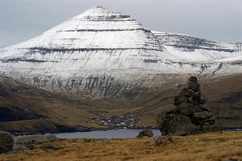
It is the highest mountain in the Faroe Islands. It is located in the northern part of the island of Eysturoy between the villages of Eiði, Gjógv, and Funningur. It is one of ten Faroese mountains exceeding an elevation of 800 m. The name means "flat peak."
There is no chalet on the peak.
Peak is not stroller accessible.
There are views from the peak.
There is no cable car to this peak.
No special equipment is required for this summit.
Peak is freely accessible.
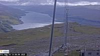 Funningur: Gjáarskarð
 Funningur: Gjáarskarð
 Gjogv › East
 Eii › West: Mylingur
 Eii › South-East: Eysturoy
| today | tomorrow | day after tomorrow | |
|---|---|---|---|
| Dawn: | 7:04 | 7:07 | 7:09 |
| Sunrise: | 7:52 | 7:55 | 7:58 |
| Sunset: | 16:30 | 16:27 | 16:24 |
| Dusk: | 17:19 | 17:16 | 17:13 |