

Hiking, 33 km
4.4.2026
 Slovensko
Banskobystrický kraj
Logged on Vrcholovka 58x in total. Peak information here was completed by Pepino, Lukas Kopunec a Martin Matějka.
Sitno is part of challenges: Highest Points of Geomorphological Units of Slovakia, Highest SK, Najhory Štiavnických vrchov, Slovensko 200+
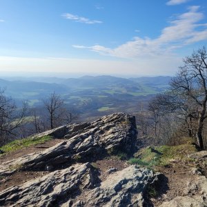
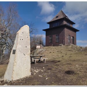
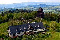
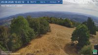
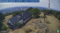
Sitno (elevation 1009.2 meters) is the highest peak of the Štiavnické vrchy mountain range and the southernmost thousand-meter peak in Slovakia. It is located about 5 kilometers south of Banská Štiavnica. Andesite walls surround the summit on three sides, where a lookout tower stands, and near the top is the Sitno transmitter.
Remains of prehistoric settlement have been found at the summit. On the eastern slope of the mountain lies the ruins of Sitno Castle. At the foot of the mountain is Lake Počúvadlo. The peak is situated within the protected area of the Štiavnické vrchy PLA.
Sitno means 'mountain covered with a network of vegetation.'
There is a chalet on the peak.
This peak is accessible with a stroller.
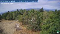
There are views from the peak.
There is no cable car to this peak.
No special equipment is required for this summit.
Peak is freely accessible.
Nearest peaks: Petrov vrch (949 m, 0.8 km) Almášske lúky (862 m, 1.2 km) Malé Sitno (775 m, 1.5 km) Jedlina (751 m, 1.9 km) Trnákov vrch (594 m, 2.1 km) Lipovie (738 m, 2.2 km) Holík (754 m, 2.3 km) Jančov vrch (574 m, 2.3 km) Krížna (818 m, 2.5 km) Pinkov vrch (739 m, 2.5 km) Drieňovište (681 m, 2.7 km) Holá S (815 m, 2.9 km) Buková hora (756 m, 3.1 km) Pažitie (664 m, 3.1 km) Dvorisko (646 m, 3.2 km) Stankov vrch (473 m, 3.3 km) Strieborná (614 m, 3.4 km)
| today | tomorrow | day after tomorrow | |
|---|---|---|---|
| Dawn: | 6:43 | 6:44 | 6:45 |
| Sunrise: | 7:14 | 7:16 | 7:17 |
| Sunset: | 17:43 | 17:41 | 17:39 |
| Dusk: | 18:14 | 18:13 | 18:11 |