Eyjafjallajökull (1666 m a.s.l., Island)
Register and log summit
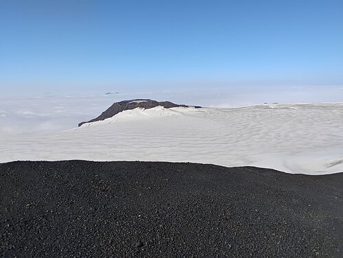

About peak Eyjafjallajökull
 Island
Vrchol Eyjafjallajökull was added here by Martin Matějka.
Infamously known Icelandic volcano whose eruption in 2010 halted air traffic in Europe. The highest peak is called Hámundur.
- Chalet/accommodation
-
There is no chalet on the peak.
- Stroller access
-
Peak is not stroller accessible.
- Views
-
There are views from the peak.
- Cable car
-
There is no cable car to this peak.
- Equipment
-
glacier gear
- Accessibility
-
Peak is freely accessible.
Routes nearby
Routes provided by SvetOutdooru.cz
Webcams
Cameras provided by windy.com


Sun
| today | tomorrow | day after tomorrow | |
|---|---|---|---|
| Dawn: | 7:53 | 7:56 | 7:58 |
| Sunrise: | 8:43 | 8:46 | 8:49 |
| Sunset: | 17:21 | 17:17 | 17:14 |
| Dusk: | 18:11 | 18:08 | 18:05 |