



Hiking
čt, 17.9.2026, 14:20
 Rakousko
Logged on Vrcholovka 2x in total. Vrchol Gusterberg was added here by Eliška.
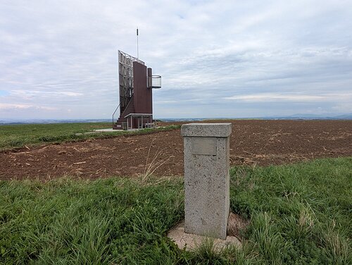
Gusterberg is a peak that features a triangulation point, which is the starting point of the Cassini-Soldner cartographic projection. It was the basis for the cadastral mapping of Upper Austria, Salzburg, and Bohemia during the Austro-Hungarian Empire.
There is no chalet on the peak.
This peak is accessible with a stroller.
There are views from the peak.
There is no cable car to this peak.
No special equipment is required for this summit.
Peak is freely accessible.
| today | tomorrow | day after tomorrow | |
|---|---|---|---|
| Dawn: | 7:04 | 6:05 | 6:07 |
| Sunrise: | 7:36 | 6:37 | 6:39 |
| Sunset: | 17:59 | 16:57 | 16:55 |
| Dusk: | 18:30 | 17:29 | 17:27 |