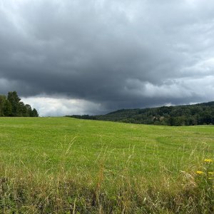
Hiking, 1 km
1.8.2026
 Česko
Karlovy Vary (Karlovarský kraj)
Logged on Vrcholovka 12x in total. Vrchol Roh was added here by Michal and info was completed by Nojby.
Roh is part of challenges: Nejhory Karlovarska, Nejhory Slavkovské, Ultrakopce
The peak is also referred to by the names Suk, Horn, Hornisberg, Hornberg, or Hornaberg. The original summit was likely removed during basalt mining, as some sources indicate an elevation of 579 m above sea level.
There is no chalet on the peak.
Peak is not stroller accessible.
From the summit, or more precisely from the summit ridge, there are beautiful views in all directions (not from one spot): towards Karlovy Vary, the industrial landscape of the Sokolov Basin with the cooling tower of the Vřesová fuel combine, the massif of the Slavkovský les with the Krudum lookout tower, and the border ridge of the Krušné hory with Klínovec...
There is no cable car to this peak.
No special equipment is required for this summit.
Peak is freely accessible.
Nearest peaks: Roh SZ (552 m, 0.2 km) Roh V (524 m, 0.4 km) Kozí hřbet S3 (522 m, 1 km) Starý Loket (420 m, 1 km) Kozí hřbet S2 (539 m, 1.1 km) Kozí hřbet SSZ (538 m, 1.1 km) Kozí hřbet SZ (539 m, 1.1 km) In the Enclosure (543 m, 1.3 km) Kozí hřbet (568 m, 1.3 km) Lysý vrch S (553 m, 1.3 km) Kovářka (547 m, 1.4 km) Lysý vrch (557 m, 1.4 km) U obory (541 m, 1.4 km) U hangáru (501 m, 1.5 km) Goat Ridge V1 (533 m, 1.8 km) Jalový dvůr (495 m, 2 km) Kozí hřbet V2 (486 m, 2.1 km) Vysoký hřbet SZ (490 m, 2.1 km) Koule SV3 (485 m, 2.2 km) Loketský vrch SSV (521 m, 2.4 km) Nad meandrem (452 m, 2.4 km) Koule SV2 (515 m, 2.5 km) Loketský vrch (565 m, 2.6 km) Koule SV1 (550 m, 2.9 km) Loketský vrch JJZ (542 m, 2.9 km) Na Studánce (572 m, 2.9 km) At the Hunting Chamber S (602 m, 3.1 km) Bučina SV (603 m, 3.1 km) Bučina (628 m, 3.2 km) Koule (658 m, 3.2 km) Loketský vrch JZ (537 m, 3.2 km) Na Pískách (429 m, 3.2 km) U Lovčí komory (618 m, 3.3 km) U Lovčí komory V (616 m, 3.3 km) At the Hunting Chamber J (600 m, 3.5 km)
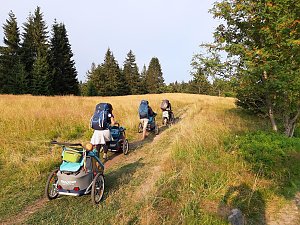 Přechod Krušných hor
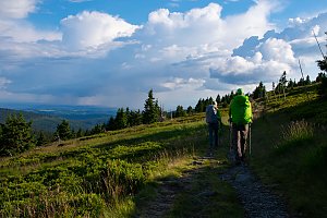
| today | tomorrow | day after tomorrow | |
|---|---|---|---|
| Dawn: | 7:10 | 7:12 | 6:14 |
| Sunrise: | 7:44 | 7:45 | 6:47 |
| Sunset: | 18:02 | 18:00 | 16:58 |
| Dusk: | 18:35 | 18:33 | 17:31 |