



Hiking, 28 km
13.9.2026
 Rakousko
Logged on Vrcholovka 1x in total. Vrchol Kleiner Rinner was added here by Jan Blažej and info was completed by Jan Blažej.
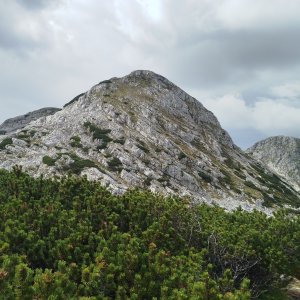
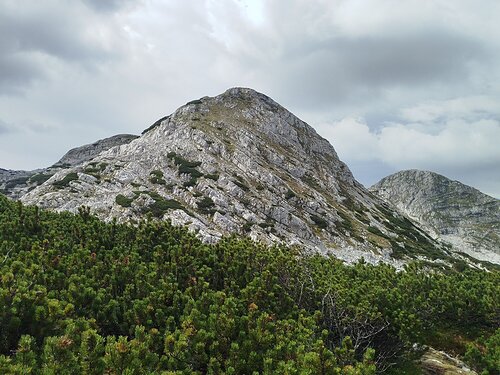
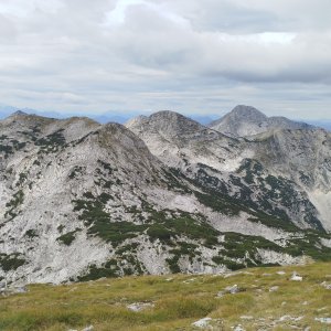
The summit is accessible from the red hiking trail between the Ebenseer Hochkogelhaus and Rinnerhütte huts. There is no marked path to the summit, but it is possible to ascend via a grassy slope among the rocks. The easiest access seemed to be from the northwest. The summit itself consists of three peaks, with this one being the highest.
There is no chalet on the peak.
Peak is not stroller accessible.
There are views from the peak.
There is no cable car to this peak.
No special equipment is required for this summit.
Peak is freely accessible.
Nearest peaks: Kleiner Rinner S (2001 m, 0.1 km) Kleiner Rinner S2 (1995 m, 0.3 km) Großer Scheiblingkogel (2025 m, 0.6 km) Rinnerkogel (2012 m, 1.1 km) Rinnerkogel S (1972 m, 1.2 km) Kleiner Wehrkogel (1990 m, 2 km) Wehrkogel (2008 m, 2.2 km)
| today | tomorrow | day after tomorrow | |
|---|---|---|---|
| Dawn: | 7:03 | 7:05 | 6:06 |
| Sunrise: | 7:35 | 7:36 | 6:38 |
| Sunset: | 18:02 | 18:00 | 16:59 |
| Dusk: | 18:34 | 18:32 | 17:30 |