

Hiking, 22 km
4.9.2026
 Rakousko
Logged on Vrcholovka 2x in total. Vrchol Brandleck Z was added here by Jan Blažej and info was completed by Jan Blažej.
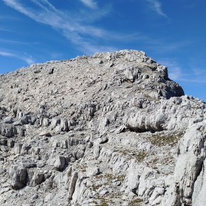
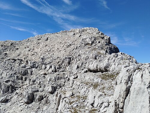
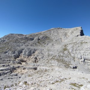
You can reach the summit from the village of Hinterstoder via the Brandleck peak. The maps show a dotted path, but there is no established trail on site. The terrain through the valley leads over a scree field and smaller rock formations with sections of climbing difficulty II. From the Brandleck summit, you continue along the ridge in open terrain towards Kleiner Hochkasten.
There is no chalet on the peak.
Peak is not stroller accessible.
There are views from the peak.
There is no cable car to this peak.
No special equipment is required for this summit.
Peak is freely accessible.
Nearest peaks: Kleiner Hochkasten J (2280 m, 0.4 km) Brandleck (2247 m, 0.6 km) Kleiner Hebenkas (2250 m, 0.7 km) Kleiner Hochkasten (2349 m, 0.8 km) Hebenkas (2285 m, 1.1 km) Großer Hochkasten (2389 m, 1.5 km) Mitterberg (2183 m, 1.5 km) Großer Hochkasten JZ (2252 m, 1.6 km) Hochplanberg (2229 m, 1.6 km) Großer Hochkasten JZ2 (2320 m, 1.8 km) Wildklapf (2290 m, 2 km) Wildklapf S (2276 m, 2.2 km) Bösengühel JV (2268 m, 2.3 km) Bösenbühel (2277 m, 2.5 km) Sonnleitstein (2178 m, 2.5 km) Großer Kraxenberg (2195 m, 2.7 km) Kleiner Kraxenberg (2179 m, 2.7 km)
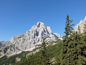 Grosser Priel od Almtaler Haus
 Výstup na Grosser Priel po feratě Bert Rinesch-Steig
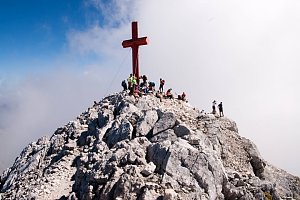 Přechod Totes gebirge - Mrtvých hor - na sněžnicích
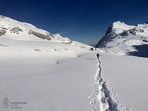 Výstup na vrcholy Grosses Tragl a Labienstein v rakouských Totes Gebirge
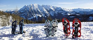 Okruh kolem 6 jezer u Tauplitzalm v Totes gebirge
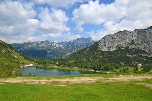 Výstup na nejvyšší vrchol pohoří Totes Gebirge - Grosser Priel
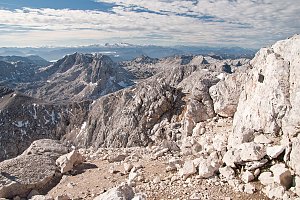 Přechod Totes Gebirge v rakouských Alpách
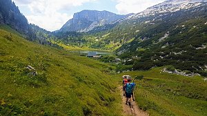
 Bad Mitterndorf › South
 Bad Mitterndorf: Tauplitz - Haus Alpin
 Tauplitz: Lawinenstein − Traweng − Grimming − Rotgschirr − Kammspitze − Hoher Dachstein

| today | tomorrow | day after tomorrow | |
|---|---|---|---|
| Dawn: | 7:02 | 7:04 | 6:05 |
| Sunrise: | 7:34 | 7:35 | 6:37 |
| Sunset: | 18:01 | 18:00 | 16:58 |
| Dusk: | 18:33 | 18:31 | 17:29 |