




Hiking, 25 km
3.8.2024
 Slovensko
Žilinský kraj
Logged on Vrcholovka 2x in total. Peak information here was completed by Martin Matějka a Horalka Anička.
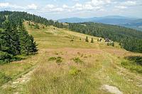
The summit is overgrown. From the north, from the border - Javorina, a rough forest road leads to the intersection of paths. From there, about 300 meters along an overgrown trail.
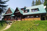
There is no chalet on the peak.
Peak is not stroller accessible.
There are no views from the peak.
There is no cable car to this peak.
No special equipment is required for this summit.
Peak is freely accessible.
Nearest peaks: Javorina (1173 m, 0.9 km) Abramów (1086 m, 1.4 km) Sajdov (856 m, 1.6 km) Kykula (1105 m, 1.8 km) Kašubova Kýčera (777 m, 1.9 km) Bugaj (1140 m, 2 km) Javorina (1117 m, 2 km) Bugaj JZ (1133 m, 2.2 km) Talapkovo solisko (827 m, 2.4 km) Bugaj S (1028 m, 2.5 km) Priehybok J (1078 m, 2.6 km) Priehybok (1128 m, 3.1 km) Bendoszka Mała (1037 m, 3.2 km) Bendoszka Mała V (1033 m, 3.3 km) Májov SZ (1076 m, 3.3 km) Grúň (882 m, 3.5 km) Kołyski Groń (1015 m, 3.5 km) Hričovský vrch (728 m, 3.6 km)
 Na Velký Rozsutec skrz Jánošíkove diery
 Přechod Malé Fatry na sněžnicích
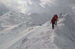 Přes Beskydy a Javorníky podél východní hranice
| today | tomorrow | day after tomorrow | |
|---|---|---|---|
| Dawn: | 6:46 | 5:47 | 5:49 |
| Sunrise: | 7:19 | 6:20 | 6:22 |
| Sunset: | 17:36 | 16:35 | 16:33 |
| Dusk: | 18:09 | 17:07 | 17:06 |


