

Hiking, 18 km
26.9.2025
 Slovensko
Žilinský kraj
Logged on Vrcholovka 19x in total. Vrchol Roh was added here by Šárka and info was completed by Šárka a Martin Matějka.
Roh is part of challenge: The Highest Peaks of the Western Tatras
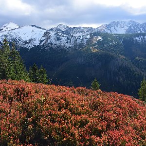
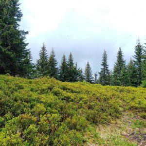
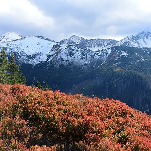
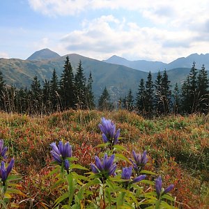
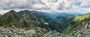
Roh (1573 m) is a rather inconspicuous peak on the northwestern ridge of Lúčne in the Slovak Western Tatras. It is located between Lúčná (1653 m) and the saddle above Kotlový žlab (1460 m). The summit itself is treeless, while the slopes are almost entirely forested. To the northeast, the slopes descend into Bobrovecká dolina and to the southwest into Látaná dolina. Látaná dolina, specifically the right slope in the upper part of Látaná dolina below the summit of Roh, is included in the strictly protected area of the National Nature Reserve Kotlový žľab. The reserve was established in 1926. Beech and fir trees over 200 years old grow here. A green-marked hiking trail runs over the ridge and summit. From Roh to the summit of Lúčne, the trail gently ascends along a slightly undulating and mostly grassy ridge, offering views of the entire Roháče ridge up to Brestová.
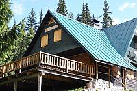
There is no chalet on the peak.
Peak is not stroller accessible.
There are views from the peak.
There is no cable car to this peak.
No special equipment is required for this summit.
Peak is freely accessible.
Nearest peaks: Lúčna (1653 m, 0.8 km) Kasne (1541 m, 1.1 km) Čelo (1515 m, 1.2 km) Dĺhý Úplaz / Długi Upłaz (1632 m, 1.3 km) Jamborový vrch (1574 m, 1.8 km) Stredná Zábrať (1661 m, 1.9 km) Zadná Zábrať (1690 m, 2 km) Predná Zábrať (1577 m, 2.1 km) Bobrovec (1665 m, 2.2 km) Rákoň / Rakoń (1879 m, 2.6 km)
 Přechod Roháčů - hřebenovka Západních Tater
 Łopata
 Zuberec: Spálená
 District of Tvrdošín: Brezovica: Zuberec, Roháče-Spálená - Roháče - Spálená
 Jamnik: TATRY Zachodnie

| today | tomorrow | day after tomorrow | |
|---|---|---|---|
| Dawn: | 6:41 | 6:43 | 5:44 |
| Sunrise: | 7:14 | 7:15 | 6:17 |
| Sunset: | 17:36 | 17:34 | 16:32 |
| Dusk: | 18:08 | 18:06 | 17:05 |