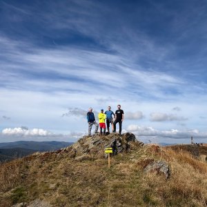

Hiking, 16 km
25.9.2026 to 26.9.2026
 Polsko
 Slovensko
 Ukrajina
Logged on Vrcholovka 56x in total. Peak information here was completed by Horalka Anička, Petr Pepe Peloušek, Jaroslav Flidr a Martin Matějka.
Kremenec is part of challenge: Highest Points of Geomorphological Units of Slovakia
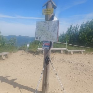
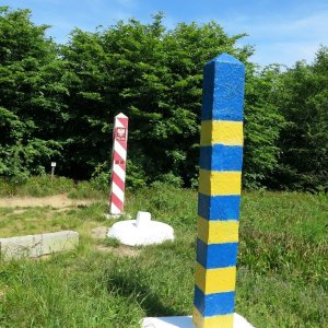
The highest point of the Slovak Bukovské Hills is located at the tripoint of Slovakia-Poland-Ukraine, at an elevation of 1208 m. This place is also the easternmost point of Slovakia. The summit of Kremenec is 150 m to the east, on the Poland-Ukraine border.
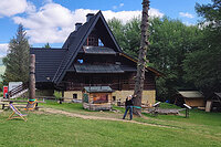
There is no chalet on the peak.
Peak is not stroller accessible.
Wooded ridge
There is no cable car to this peak.
No special equipment is required for this summit.
Peak is freely accessible.
Nearest peaks: Wielka Rawka (1304 m, 1.4 km) Kamenná lúka (1201 m, 1.5 km) Wierch Muchów (1150 m, 2.1 km) Kiczera (1214 m, 2.3 km) Mała Rawka (1271 m, 2.4 km) Packová Kýčera (872 m, 2.9 km) Zdegowa (1065 m, 3.6 km)
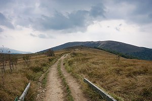 Přechod hřebene v polském pohoří Bieszczady
 Ustrzyki Gorne
 Wetlina

| today | tomorrow | day after tomorrow | |
|---|---|---|---|
| Dawn: | 6:30 | 6:31 | 5:33 |
| Sunrise: | 7:02 | 7:04 | 6:06 |
| Sunset: | 17:25 | 17:23 | 16:21 |
| Dusk: | 17:57 | 17:55 | 16:54 |