



Hiking, 50 km
4.7.2026
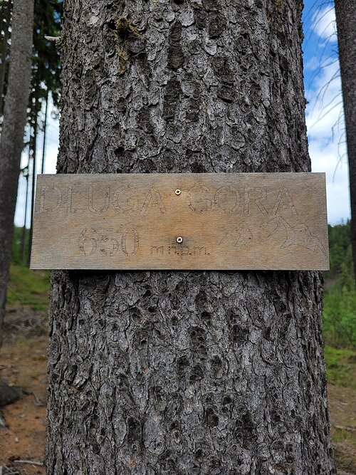

Logged on Vrcholovka 1x in total. Vrchol Długa Góra was added here by Tomik Krejda and info was completed by Tomik Krejda.
Help others and .
There is no chalet on the peak.
There are no views from the peak.
There is no cable car to this peak.
No special equipment is required for this summit.
Peak is freely accessible.
Nearest peaks: Skowrończa (707 m, 0.4 km) View (711 m, 0.5 km) Golcowa Kopa (704 m, 0.8 km) Starzec (729 m, 1.5 km) Owcza Głowa (757 m, 1.6 km) Gołota (763 m, 1.9 km) Glazica (798 m, 2 km) Szeroka J (838 m, 2 km) Szeroka V (842 m, 2 km) Wiązowa (788 m, 2.3 km) Sępia Góra (742 m, 2.5 km) Jaworowa (786 m, 2.6 km) Końska Góra (812 m, 2.8 km) Kozlík JV (806 m, 3.1 km) Mravenčí vrch (840 m, 3.6 km)
| today | tomorrow | day after tomorrow | |
|---|---|---|---|
| Dawn: | 6:06 | 6:08 | 6:09 |
| Sunrise: | 6:40 | 6:42 | 6:43 |
| Sunset: | 16:38 | 16:37 | 16:35 |
| Dusk: | 17:12 | 17:11 | 17:09 |
