




Hiking, 18 km
22.6.2026
 Polsko
Logged on Vrcholovka 1x in total. Vrchol Trupień was added here by Milda.
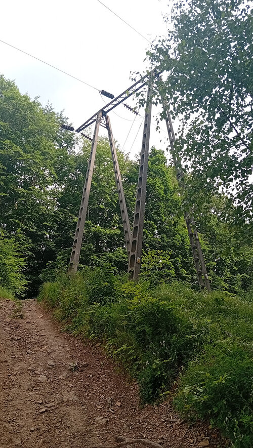
Świętokrzyskie Mountains - Zgórskie Range. The peak is located on the blue trail of Edmund Padechowicz. You will reach here from the village of Słowik on the way to the peak Patrol. Most of the peaks are forested and there are no views from them. A high-voltage power line runs over this hill, with clearings underneath, providing views along the clearing axis.
There is no chalet on the peak.
Peak is not stroller accessible.
There are views from the peak.
There is no cable car to this peak.
No special equipment is required for this summit.
Peak is freely accessible.
Nearest peaks: Patrol (389 m, 0.8 km)
| today | tomorrow | day after tomorrow | |
|---|---|---|---|
| Dawn: | 6:42 | 5:43 | 5:45 |
| Sunrise: | 7:16 | 6:17 | 6:19 |
| Sunset: | 17:28 | 16:26 | 16:24 |
| Dusk: | 18:01 | 17:00 | 16:58 |