




Hiking, 18 km
22.6.2026
 Polsko
Logged on Vrcholovka 1x in total. Vrchol Telegraf was added here by Milda and info was completed by Milda.
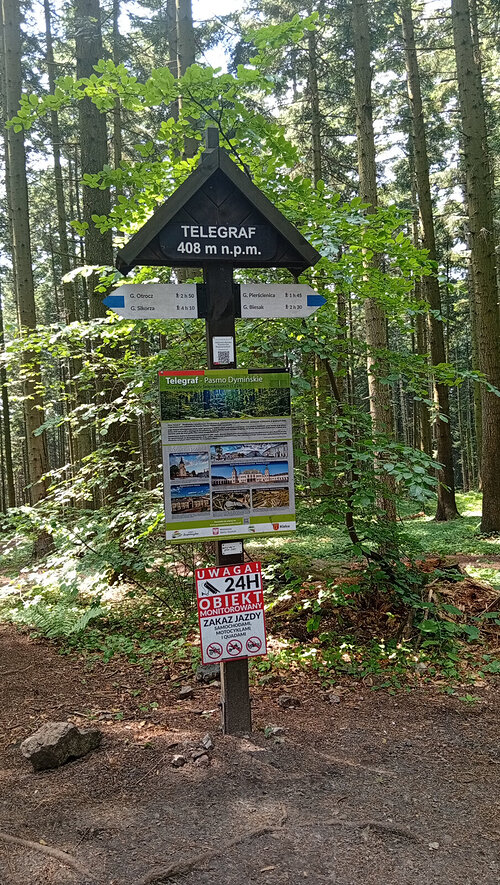
The highest peak of the Dyminy Mountains and the city of Kielce. The mountain range stretches from the Posłowice Mountains in the west to the Lubrzanka Gorge in the east. The higher part of Telegraf consists of Cambrian and Lower Ordovician sandstones. It is covered with beech and fir forests. At the summit stands a 60-meter tall radio mast belonging to the Polish Radio Network. On the northern slope, there is a ski slope.
The Telegraf summit is traversed by the blue tourist trail of Edmund Padechowicz from Łagów to Chęciny. At the foot of the hill, a yellow tourist trail runs around Kielce. Telegraf also offers numerous cycling paths of varying difficulty.
Karczma Telegraf under the ski slope
There are views from the peak.
Ski lift
No special equipment is required for this summit.
Peak is freely accessible.
| today | tomorrow | day after tomorrow | |
|---|---|---|---|
| Dawn: | 6:40 | 6:41 | 5:43 |
| Sunrise: | 7:13 | 7:15 | 6:17 |
| Sunset: | 17:29 | 17:27 | 16:25 |
| Dusk: | 18:03 | 18:01 | 16:59 |
