
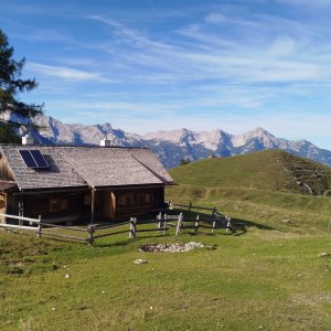

Hiking, 23 km
27.9.2026
 Rakousko
Logged on Vrcholovka 1x in total. Vrchol Gamsstein was added here by Jan Blažej and info was completed by Jan Blažej.
Help others and .
There is no chalet on the peak.
Peak is not stroller accessible.
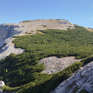
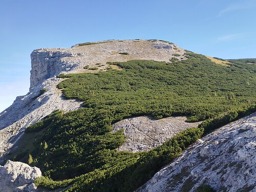
There are views from the peak.
There is no cable car to this peak.
No special equipment is required for this summit.
Peak is freely accessible.
Nearest peaks: Gamsstein V (1993 m, 0.5 km) Almkogel (2116 m, 1 km) Leisthüttgruben (2043 m, 1.2 km) Sneslitz (2024 m, 1.2 km) Gamsspitz (2057 m, 1.5 km) Suniwel (1898 m, 1.7 km) Aiblplan Z (1912 m, 2.2 km) Grubstein (2036 m, 2.2 km) Kleiner Brieglersberg (2078 m, 2.2 km) Großer Brieglersberg (2148 m, 2.3 km) Tranebenkogel (1815 m, 2.4 km) Rosskogel (1890 m, 2.6 km) Hochstein (1100 m, 3.3 km) Hochplanberg (2229 m, 3.5 km)
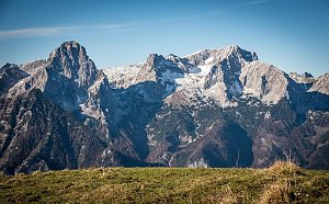 Výstup na vrcholy Grosses Tragl a Labienstein v rakouských Totes Gebirge
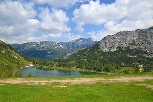
 Okruh kolem 6 jezer u Tauplitzalm v Totes gebirge
 Výstup na Spitzmauer v pohoří Totes Gebirge
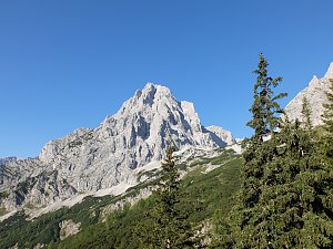 Grosser Priel od Almtaler Haus
 Výstup na Grosser Priel po feratě Bert Rinesch-Steig
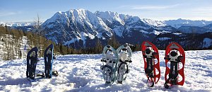
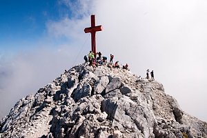 Přechod Totes gebirge - Mrtvých hor - na sněžnicích
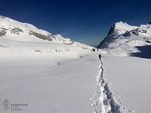
 Bad Mitterndorf › South
 Bad Mitterndorf: Tauplitz - Haus Alpin
 Hinterstoder: Bergstation Hirschkogelbahn
 Hinterstoder: Bergstation Hirschkogelbahn
 Hinterstoder: Bergstation Hirschkogelbahn
 Hinterstoder: Panoramalift Tal - Startplatz West
 Hinterstoder: Panoramalift Tal - Startplatz West
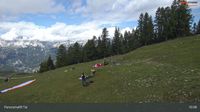 Hinterstoder: Panoramalift Tal - Startplatz West
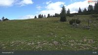 Hinterstoder: Panoramalift Tal - Startplatz West
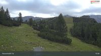 Hinterstoder: Höss-Express Bergstation
 Hinterstoder: Huttererhöß
 Hinterstoder
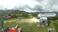 Hinterstoder: Hössbahn Bergstation - Huttererböden
 Hinterstoder: Hössbahn Bergstation - Huttererböden
 Hinterstoder: Hössbahn Bergstation - Huttererböden

| today | tomorrow | day after tomorrow | |
|---|---|---|---|
| Dawn: | 7:01 | 7:02 | 7:04 |
| Sunrise: | 7:32 | 7:34 | 7:35 |
| Sunset: | 18:03 | 18:01 | 18:00 |
| Dusk: | 18:34 | 18:33 | 18:31 |