



Hiking, 20 km
5.5.2026
 Německo
Logged on Vrcholovka 1x in total. Vrchol Brünlasberg was added here by Nojby.
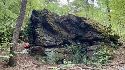
According to the map, there are two areas marked by the contour line at 510 m on the flat forested summit. A rocky outcrop on the eastern one was chosen as the peak.
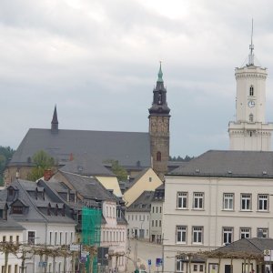
The village named after the mountain is now part of the district town of Aue-Bad Schlema.
There is no chalet on the peak.
Peak is not stroller accessible.
There are no views from the peak.
There is no cable car to this peak.
No special equipment is required for this summit.
Peak is freely accessible.
Nearest peaks: Klosterberg (494 m, 1.1 km) Gleesberg (593 m, 1.4 km) Buchenberg (420 m, 1.9 km) Dürrer Berg (424 m, 2 km) Hammerberg (473 m, 2.3 km) Eichert (564 m, 2.7 km) Halde 366 (468 m, 2.7 km) Modellflugplatz (424 m, 2.8 km) Halde 309 (500 m, 2.9 km) Halde 310 (532 m, 3.4 km) Halde 296 (460 m, 3.5 km)
| today | tomorrow | day after tomorrow | |
|---|---|---|---|
| Dawn: | 7:13 | 6:15 | 6:16 |
| Sunrise: | 7:46 | 6:48 | 6:50 |
| Sunset: | 17:59 | 16:58 | 16:56 |
| Dusk: | 18:33 | 17:31 | 17:29 |
