Weißenstein (758 m a.s.l., Přední Bavorský les)
Register and log summit
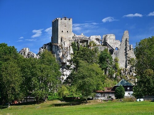

About peak Weißenstein
 Německo
Vrchol Weißenstein was added here by Martin Matějka.
A geological interest of the first category - the Weißenstein Castle stands on top of the quartz vein Pfahl, which stretches across the entire Bavarian Forest (granite) for a length of 150 km. In a few places, it comes to the surface, most prominently right below the Weißenstein Castle.
- Chalet/accommodation
-
castle
- Stroller access
-
Peak is not stroller accessible.
- Views
-
There are views from the peak.
- Cable car
-
There is no cable car to this peak.
- Equipment
-
No special equipment is required for this summit.
- Accessibility
-
Peak is freely accessible.
Routes nearby
(elevation gain 650 m, 8 km)
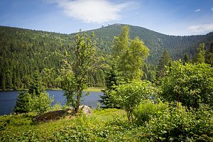 Přechod 12 tisícovek v Bavorském lese
(elevation gain 1540 m, 30 km)
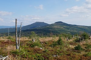 Výstup pralesem na Grosser Falkenstein/Velký Falkenštejn
(elevation gain 950 m, 17 km)
 Přechod západní Šumavy
(elevation gain 3052 m, 121 km)
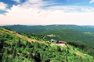 Na sněžnicích nebo na běžkách napříč zimní Šumavou
(elevation gain 2000 m, 90 km)
Webcams
Cameras provided by windy.com

Sun
| today | tomorrow | day after tomorrow | |
|---|---|---|---|
| Dawn: | 7:08 | 7:09 | 6:11 |
| Sunrise: | 7:40 | 7:41 | 6:43 |
| Sunset: | 18:03 | 18:01 | 16:59 |
| Dusk: | 18:35 | 18:33 | 17:31 |