



Hiking
so, 9.5.2026, 12:05
 Rakousko
Logged on Vrcholovka 1x in total. Vrchol Lickerplanhöhe was added here by Jiří Králík and info was completed by Jiří Králík.
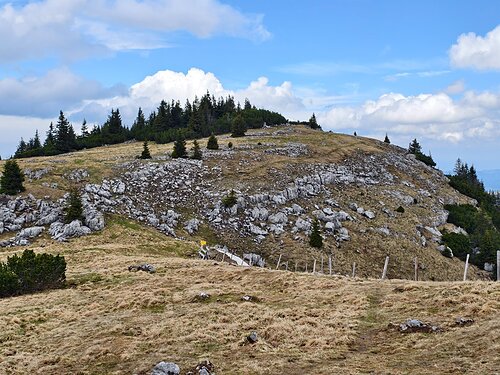
The summit itself is overgrown with dwarf pine. The view is about 4 meters below the summit, where a small cross is also located.
There is no chalet on the peak.
Peak is not stroller accessible.
There are no views from the peak.
There is no cable car to this peak.
No special equipment is required for this summit.
Peak is freely accessible.
Nearest peaks: Kleiner Lickerplanhöhe (1680 m, 0.3 km) Schmalzmauer (1759 m, 0.4 km) Klein Schmalzmauer (1698 m, 0.6 km) Schmalzridge (1738 m, 0.8 km) Kleiner Leckerplan (1668 m, 1.1 km) Geißhöhe (1648 m, 1.2 km) Hinterer Blachboden (1586 m, 1.2 km) Scheiterkogel (1654 m, 1.3 km) Vorderer Blachboden (1584 m, 1.3 km) Kleiner Lacknerplan (1658 m, 1.4 km) Leckerplan (1732 m, 1.4 km) Munzenplan (1585 m, 2 km) Blachlkogel (1139 m, 2.4 km) Häsing (1735 m, 2.4 km) Noten (1780 m, 3 km)
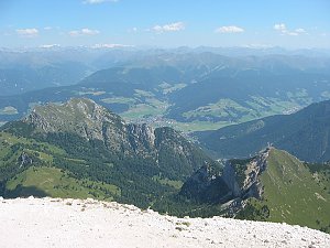 Tůra po hřebeni Trieben Tauern
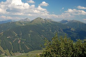 Přechod hlavního hřebene pohoří Hochschwab
 Výstup okruhem na vrchol Hochschwab skrze kvetoucí louky
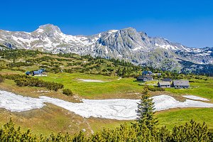 Výstup na Hochswab
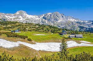
 Gemeinde Gostling an der Ybbs: Göstling, Hochkar - Hochkar Tal
 Gemeinde Gostling an der Ybbs: Göstling, Hochkar - Hochkar, Häsing
 Hochkar: Blick über Wildalpen nach Südosten zum Hochschwab
 Gemeinde Gostling an der Ybbs: Göstling, Hochkar - Hochkarbahn Bergstation
 Wildalpen: Blick nach Süden

| today | tomorrow | day after tomorrow | |
|---|---|---|---|
| Dawn: | 7:00 | 6:02 | 6:03 |
| Sunrise: | 7:32 | 6:33 | 6:35 |
| Sunset: | 17:56 | 16:54 | 16:52 |
| Dusk: | 18:27 | 17:26 | 17:24 |