


Hiking, 21 km
27.10.2026
 Rakousko
Logged on Vrcholovka 2x in total. Vrchol Hundseck was added here by Divočák and info was completed by Jan Blažej.
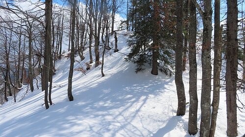
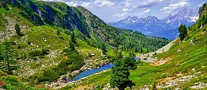
There is no marked path to the summit. You can walk on open terrain. The nearest path leads through the forest from the north from the red hiking trail. From the summit there is a view of the Kalkalpen.
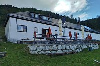
There is no chalet on the peak.
Peak is not stroller accessible.
There are views from the peak.
There is no cable car to this peak.
No special equipment is required for this summit.
Peak is freely accessible.
Nearest peaks: Hundseck SW (1218 m, 0.3 km) Dürreneck (1271 m, 1 km) Hundskogel (1269 m, 1.1 km) Raffelboden V (1179 m, 1.3 km) Raffelboden Z (1174 m, 1.3 km) Raffelboden S (1223 m, 1.5 km) Augustinkogel (1335 m, 2.2 km) Grosser Größtenberg (1724 m, 2.6 km) Mittlerer Großenberg (1722 m, 2.6 km) Kleiner Größtenberg (1720 m, 3 km) Zeitschenberg (1433 m, 3.2 km)
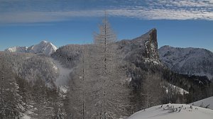 Výstup na vrcholy Toter Mann a Warscheneck v pohoří Totes Gebirge
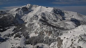 Výstup na Grosser Buchstein
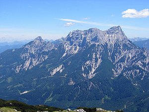 Okruh v Národním parku Gesäuse v Ennstalských Alpách
| today | tomorrow | day after tomorrow | |
|---|---|---|---|
| Dawn: | 6:10 | 6:11 | 6:13 |
| Sunrise: | 6:42 | 6:43 | 6:45 |
| Sunset: | 16:49 | 16:48 | 16:46 |
| Dusk: | 17:21 | 17:20 | 17:18 |