


Hiking
út, 24.3.2026, 16:13
 Česko
Česká Lípa (Liberecký kraj)
Logged on Vrcholovka 2x in total. Vrchol Kupa was added here by Vratislav Sejkora.
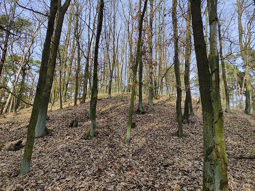
A basalt hill located in the cadastral area of the village of Tuhanec on the western edge of the Kokořínsko Protected Landscape Area. It is a landscape landmark with the occurrence of rare plant species, rising in the area of former mining activities between the villages of Tuhanec and Tubož.
There is no chalet on the peak.
Peak is not stroller accessible.
There are no views from the peak.
There is no cable car to this peak.
No special equipment is required for this summit.
Peak is freely accessible.
Nearest peaks: Stráž (334 m, 0.7 km) Čap (387 m, 1.2 km) Nad Čapem (400 m, 1.5 km) Hájka (320 m, 1.8 km) Nad rozcestím (400 m, 2 km) Číř (422 m, 2.1 km) Kostelec J2 (393 m, 2.1 km) Kostelec J1 (393 m, 2.3 km) Číř SV (403 m, 2.4 km) Rarášek (377 m, 2.5 km) Kostelec (433 m, 2.9 km) Máselník (390 m, 3.4 km)
| today | tomorrow | day after tomorrow | |
|---|---|---|---|
| Dawn: | 7:04 | 7:06 | 6:07 |
| Sunrise: | 7:38 | 7:39 | 6:41 |
| Sunset: | 17:54 | 17:52 | 16:51 |
| Dusk: | 18:28 | 18:26 | 17:24 |

