

Via ferrata, 24 km
25.7.2026
 Rakousko
Logged on Vrcholovka 1x in total. Vrchol Pfaffenschneid was added here by Jiří Králík and info was completed by Jan Blažej.
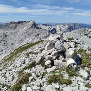
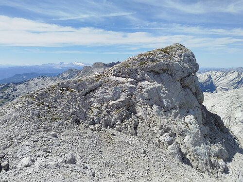
The summit is accessible when descending along the red hiking trail from the peak of Schermberg towards the southwest, continuing along the ridge on an unmarked path to the summit of Pfaffenschneid.
There is no chalet on the peak.
Peak is not stroller accessible.
There are views from the peak.
There is no cable car to this peak.
No special equipment is required for this summit.
Peak is freely accessible.
Nearest peaks: Hohe Kögel (2059 m, 0.9 km) Östlicher Hochplattenkogel (2154 m, 1 km) Schermberg (2396 m, 1 km) Sauzahn SZ (2259 m, 1.3 km) Sauzahn (2260 m, 1.4 km) Temlberg (2327 m, 1.4 km) Almtaler Köpfl (2204 m, 1.5 km) Größtenbergwinkel (2249 m, 1.7 km) Westlicher Hochplattenkogel (2073 m, 1.9 km) Pulverhörndl (1997 m, 2.1 km) Hinterer Hetzaukogel (1982 m, 2.3 km) Rotgschirr (2270 m, 2.3 km) Rotgschirr Nebengipfel (2256 m, 2.4 km) Rotgschirr Nebengipfel JV (2251 m, 2.4 km) Rotgschirr Nebengipfel JV2 (2246 m, 2.4 km) Rotgschirr Südgipfel (2261 m, 2.4 km) Rotgschirr Vorgipfel (2252 m, 2.4 km) Feuertalberg Westgipfel (2354 m, 2.5 km) Pyramidenkogel (1961 m, 2.6 km) Weitgrubenkopf (2259 m, 2.6 km) Feuertalberg (2376 m, 2.7 km) Meisenberg (2119 m, 3 km) Fäustling (1919 m, 3.4 km)
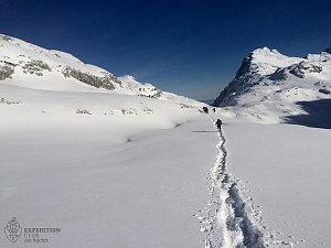 Grosser Priel od Almtaler Haus
 Výstup na Grosser Priel po feratě Bert Rinesch-Steig
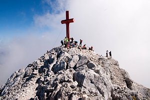 Výstup na Spitzmauer v pohoří Totes Gebirge
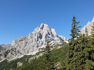 Výstup na nejvyšší vrchol pohoří Totes Gebirge - Grosser Priel
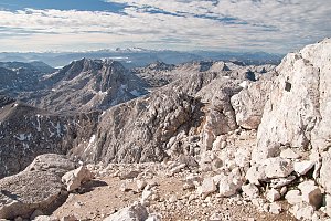 Přechod Totes Gebirge v rakouských Alpách
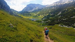
| today | tomorrow | day after tomorrow | |
|---|---|---|---|
| Dawn: | 7:01 | 7:03 | 7:04 |
| Sunrise: | 7:33 | 7:34 | 7:36 |
| Sunset: | 18:03 | 18:01 | 18:00 |
| Dusk: | 18:35 | 18:33 | 18:31 |