

Hiking, 11 km
19.4.2026
 Česko
Praha-západ (Středočeský kraj)
Logged on Vrcholovka 2x in total. Vrchol Sýr was added here by Vladimír Grančay and info was completed by Vladimír Grančay.
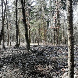
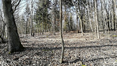
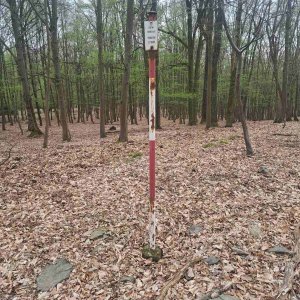
A peak with two summits. The western summit is nearly a meter higher, where the geodetic point is located.
There is no chalet on the peak.
Peak is not stroller accessible.
There are no views from the peak.
There is no cable car to this peak.
No special equipment is required for this summit.
Peak is freely accessible.
Nearest peaks: Strhaný (391 m, 0.4 km) Sakařův vrch (381 m, 0.5 km) Havran (385 m, 0.8 km) Šedivý vrch (363 m, 0.8 km) Čihadlo (382 m, 1.2 km) Ploch (383 m, 1.4 km) U Vlčí jámy (380 m, 1.6 km) At the Red Cross (398 m, 2 km) Chlum (452 m, 2.3 km) V Dubí (346 m, 2.3 km) Horní vrch (439 m, 2.6 km) Čihadlo (435 m, 2.8 km) Malý Budín (444 m, 3 km) Spáleniště (438 m, 3.1 km) V Dešinách (411 m, 3.2 km) Chlumka (407 m, 3.3 km) U Obrázku (417 m, 3.5 km)
| today | tomorrow | day after tomorrow | |
|---|---|---|---|
| Dawn: | 7:04 | 7:05 | 6:07 |
| Sunrise: | 7:37 | 7:38 | 6:40 |
| Sunset: | 17:56 | 17:54 | 16:52 |
| Dusk: | 18:29 | 18:27 | 17:25 |