Geislitzkogel (810 m a.s.l., Totes Gebirge)

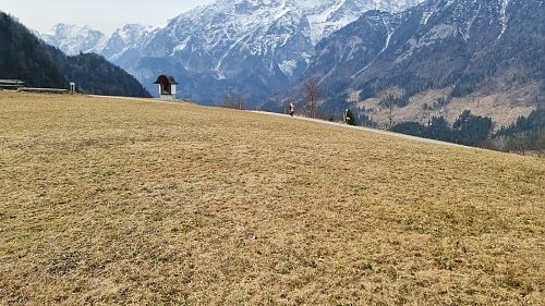

About peak Geislitzkogel
Logged on Vrcholovka 1x in total. Vrchol Geislitzkogel was added here by HonzaG.
Resting spot with a view.
- Chalet/accommodation
-
There is no chalet on the peak.
- Stroller access
-
This peak is accessible with a stroller.
- Views
-
There are views from the peak.
- Cable car
-
There is no cable car to this peak.
- Equipment
-
No special equipment is required for this summit.
- Accessibility
-
Peak is freely accessible.
Nearest peaks: Zamseggerkogel (1031 m, 2.2 km)
Routes nearby
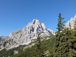
Výstup na Spitzmauer v pohoří Totes Gebirge
(elevation gain 1920 m, 26 km)
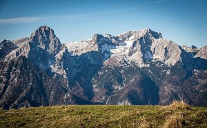
 Panoramatická túra přes 5 dvoutisícovek Totes Gebirge
(elevation gain 1500 m, 31 km)
 Grosser Priel od Almtaler Haus
(elevation gain 1800 m, 32 km)
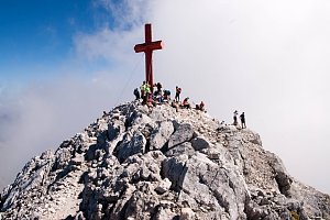
 Výstup na Grosser Priel po feratě Bert Rinesch-Steig
(elevation gain 2200 m, 20 km)
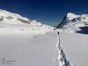
 Přechod Totes gebirge - Mrtvých hor - na sněžnicích
(elevation gain 3000 m, 40 km)
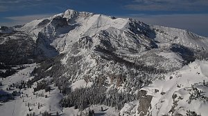
 Výstup na vrcholy Toter Mann a Warscheneck v pohoří Totes Gebirge
(elevation gain 2100 m, 21 km)
Routes provided by SvetOutdooru.cz
(elevation gain 1920 m, 26 km)
Panoramatická túra přes 5 dvoutisícovek Totes Gebirge(elevation gain 1500 m, 31 km)
Grosser Priel od Almtaler Haus(elevation gain 1800 m, 32 km)
Výstup na Grosser Priel po feratě Bert Rinesch-Steig(elevation gain 2200 m, 20 km)
Přechod Totes gebirge - Mrtvých hor - na sněžnicích(elevation gain 3000 m, 40 km)
Výstup na vrcholy Toter Mann a Warscheneck v pohoří Totes Gebirge(elevation gain 2100 m, 21 km)
Mountain chalets
Webcams
Hinterstoder: Hössbahn Bergstation - Huttererböden
( 2.3 km)
 Hinterstoder: Hössbahn Bergstation - Huttererböden
( 2.3 km)
 Hinterstoder: Hössbahn Bergstation - Huttererböden
( 2.3 km)
 Hinterstoder: Bergstation Hirschkogelbahn
( 2.6 km)
 Hinterstoder: Bergstation Hirschkogelbahn
( 2.6 km)
 Hinterstoder: Bergstation Hirschkogelbahn
( 2.6 km)
 Hinterstoder: Panoramalift Tal - Startplatz West
( 3.3 km)
 Hinterstoder: Panoramalift Tal - Startplatz West
( 3.3 km)
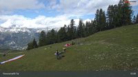 Hinterstoder: Panoramalift Tal - Startplatz West
( 3.3 km)
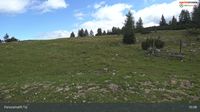 Hinterstoder: Panoramalift Tal - Startplatz West
( 3.3 km)
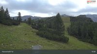 Hinterstoder: Höss-Express Bergstation
( 3.4 km)
 Hinterstoder: Huttererhöß
( 3.4 km)
 Hinterstoder
( 3.4 km)
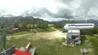
Cameras provided by windy.com
( 2.3 km)
Hinterstoder: Hössbahn Bergstation - Huttererböden( 2.3 km)
Hinterstoder: Hössbahn Bergstation - Huttererböden( 2.3 km)
Hinterstoder: Bergstation Hirschkogelbahn( 2.6 km)
Hinterstoder: Bergstation Hirschkogelbahn( 2.6 km)
Hinterstoder: Bergstation Hirschkogelbahn( 2.6 km)
Hinterstoder: Panoramalift Tal - Startplatz West( 3.3 km)
Hinterstoder: Panoramalift Tal - Startplatz West( 3.3 km)
Hinterstoder: Panoramalift Tal - Startplatz West( 3.3 km)
Hinterstoder: Panoramalift Tal - Startplatz West( 3.3 km)
Hinterstoder: Höss-Express Bergstation( 3.4 km)
Hinterstoder: Huttererhöß( 3.4 km)
Hinterstoder( 3.4 km)
Sun
| today | tomorrow | day after tomorrow | |
|---|---|---|---|
| Dawn: | 6:06 | 6:08 | 6:09 |
| Sunrise: | 6:38 | 6:40 | 6:41 |
| Sunset: | 16:56 | 16:54 | 16:52 |
| Dusk: | 17:27 | 17:26 | 17:24 |