


Hiking, 1 km
2.3.2026
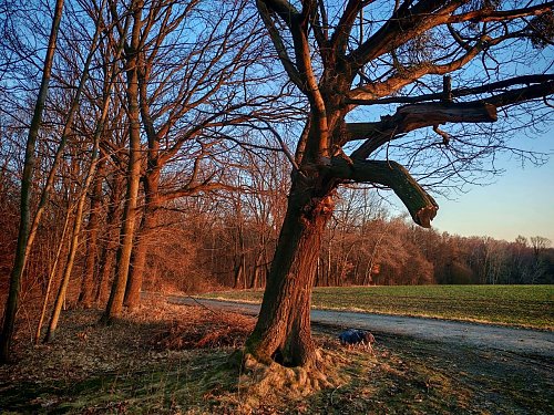

Logged on Vrcholovka 1x in total. Spočinek Šachťák was added here by Šárka.
Unnamed peak near the former deep mine. The construction of the ČSM Mine (Czechoslovak Youth Mine) began in 1958, and actual coal mining started in 1968. In 1990, the mine became independent from the Ostrava-Karviná Mines (OKD) and became part of the privatized joint-stock company Českomoravské Doly based in Kladno. In 2005, after the dissolution of this company, the ČSM Mine was again incorporated into OKD. On February 1, 2026, mining at the ČSM Mine was terminated, marking the end of coal mining in the entire Czech Republic.
There is no chalet on the peak.
Peak is not stroller accessible.
There are views from the peak.
There is no cable car to this peak.
No special equipment is required for this summit.
Peak is freely accessible.
Nearest peaks: Pastuchovka (322 m, 2.6 km)
| today | tomorrow | day after tomorrow | |
|---|---|---|---|
| Dawn: | 5:55 | 5:56 | 5:58 |
| Sunrise: | 6:28 | 6:30 | 6:31 |
| Sunset: | 16:30 | 16:28 | 16:27 |
| Dusk: | 17:04 | 17:02 | 17:00 |
