


Hiking, 17 km
24.6.2026
 Slovensko
Žilinský kraj
Logged on Vrcholovka 44x in total. Peak information here was completed by Pája, Jiřina a Alexandr Starý.
Borišov is part of challenges: Nejhory Velké Fatry, Slovensko 200+
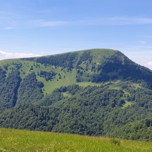
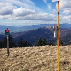
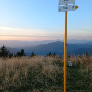
A peak above the KST hut. It is marked by all means and is worth the 260m elevation gain.
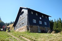
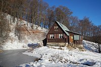
At the summit, there is the Chata pod Borišovom with accommodation options.
Dogs are allowed in the hut only during the day, not overnight.
Peak is not stroller accessible.
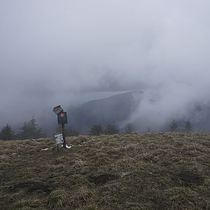
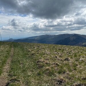
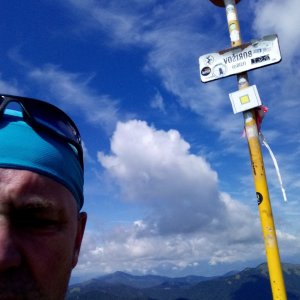
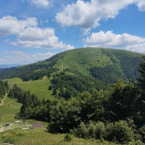
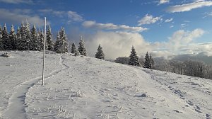
There are views from the peak.
There is no cable car to this peak.
No special equipment is required for this summit.
Peak is freely accessible.
Nearest peaks: Červený Grúň (1157 m, 1.1 km) Prierastlé (1240 m, 1.6 km) Šoproň (1370 m, 1.6 km) Prierastlé SZ (1200 m, 1.9 km) Chyžky (1340 m, 2.1 km) Suchá (1112 m, 2.1 km) Ploská (1532 m, 2.2 km) Koniarky (1390 m, 2.3 km) Osičné JV (1130 m, 2.5 km) Koniarky J (1400 m, 2.6 km) Biela skala (1385 m, 2.9 km) Javorina S1 (1160 m, 3.2 km) Javorina S2 (1157 m, 3.3 km) Chopec (1087 m, 3.7 km)
 Přechod Velké Fatry a Nízkých Tater: nejdelší slovenská hřebenovka
 Zimní přechod Velké Fatry
| today | tomorrow | day after tomorrow | |
|---|---|---|---|
| Dawn: | 6:42 | 6:44 | 6:45 |
| Sunrise: | 7:14 | 7:16 | 7:18 |
| Sunset: | 17:41 | 17:39 | 17:37 |
| Dusk: | 18:13 | 18:11 | 18:09 |