



Hiking
st, 7.1.2026, 11:30
 Česko
Teplice (Ústecký kraj)
Logged on Vrcholovka 2x in total. Vrchol Kupa was added here by mako88 and info was completed by Tor.
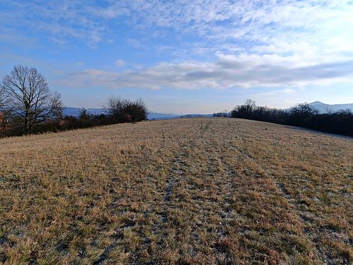
An elongated hill with a viewpoint meadow on its nearly flat summit. A prominent landmark north of Rtyně nad Bílinou, with steep slopes dropping sharply to the Bíliná River. The easiest ascent is from the north through fields of crops.
There is no chalet on the peak.
Peak is not stroller accessible.
There are views from the peak.
There is no cable car to this peak.
No special equipment is required for this summit.
Peak is freely accessible.
Nearest peaks: Nechvalický les (272 m, 1.1 km) Chotyně (273 m, 1.4 km) Vajnberk (226 m, 1.4 km) Ve skále (272 m, 1.4 km) Bžanský vrch (294 m, 1.9 km) Rač (321 m, 2.3 km)
| today | tomorrow | day after tomorrow | |
|---|---|---|---|
| Dawn: | 7:08 | 6:10 | 6:11 |
| Sunrise: | 7:42 | 6:43 | 6:45 |
| Sunset: | 17:55 | 16:53 | 16:51 |
| Dusk: | 18:28 | 17:26 | 17:24 |

