

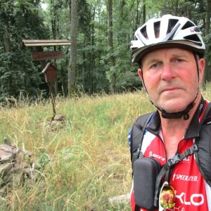

Cycling, 45 km
18.7.2026
 Česko
Rokycany (Plzeňský kraj)
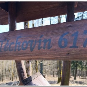
Logged on Vrcholovka 16x in total. Vrchol Těchovín was added here by Pája and info was completed by Martin Matějka a Bouřka.
Těchovín is part of challenges: Most Isolated, The Highest Peaks of Křivoklátsko, The Highest Peaks of Plzeň Region, Ultrakopce
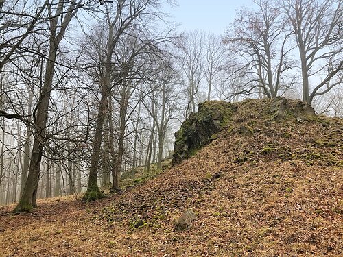
Těchovín is a forested hill in the Vlastecká Highlands in the Křivoklát region. It is the highest point of the Křivoklátsko Protected Landscape Area and is located in the cadastral area of Líšná u Zbiroha, about 7 km northeast of Zbiroh and 6 km south of Skryje. The elongated ridge and quite steep slopes are covered with a diverse mixed forest. Beech, oak, maple, ash, and old linden trees grow here. Notably, there is a high occurrence of wild apple trees. In winter, partial views open up among the trees to the north towards Rakovnicko, the Ore Mountains, and the Doupov Mountains.
(taken from Wikipedia)
There is no chalet on the peak.
Peak is not stroller accessible.
There are no views from the peak.
There is no cable car to this peak.
No special equipment is required for this summit.
Peak is freely accessible.
Nearest peaks: Těchovín J1 (610 m, 0.3 km) Těchovín J2 (616 m, 0.5 km) Malý Vršek (540 m, 0.7 km) Těchovín S (583 m, 0.9 km) Týčský vrch S (524 m, 1 km) Týčský vrch (580 m, 1.1 km) Vlastec JZ (578 m, 1.3 km) Jezerská skalka S (578 m, 1.4 km) Vlašské houštiny (563 m, 1.5 km) Strážov JV (512 m, 1.6 km) Kopaniny (562 m, 1.7 km) U Průhonu (587 m, 1.8 km) Velký vrch J (530 m, 1.8 km) Vlastec (612 m, 1.8 km) Above the Volské Pastviny (597 m, 1.9 km) Dehetník (568 m, 1.9 km) Kohoutov S (567 m, 1.9 km) Radost (584 m, 1.9 km) Šramovák (522 m, 1.9 km) Černá skála (598 m, 2 km) Kohoutov (596 m, 2 km) Vrána (573 m, 2 km) Kohoutov SZ (585 m, 2.1 km) Dehetnická skála (610 m, 2.2 km) Strážov (515 m, 2.2 km) Velký vrch (580 m, 2.2 km) Vlastec SZ (523 m, 2.2 km) Kohoutov J (535 m, 2.3 km) Malý Vlastec (566 m, 2.3 km) Červený vrch (544 m, 2.5 km) Malý Vlastec SV (555 m, 2.5 km) Velký vrch Z (550 m, 2.5 km) Velký vrch Z2 (528 m, 2.7 km) Čertova skála (583 m, 2.9 km) Hamouz (490 m, 2.9 km) Řebřík (519 m, 2.9 km) Bludný (530 m, 3 km) Bludný VSV (518 m, 3 km) In the Puddle (502 m, 3.1 km) Hamouz S (492 m, 3.2 km) Dlouhá skála (580 m, 3.3 km) Řebříček (465 m, 3.3 km) Roubík (490 m, 3.4 km)
| today | tomorrow | day after tomorrow | |
|---|---|---|---|
| Dawn: | 7:06 | 7:08 | 6:09 |
| Sunrise: | 7:39 | 7:41 | 6:42 |
| Sunset: | 17:58 | 17:56 | 16:55 |
| Dusk: | 18:31 | 18:29 | 17:28 |