



Hiking, 33 km
23.4.2023
 Německo
Logged on Vrcholovka 10x in total. Vrchol Oderwitz Spitzberg was added here by Pája and info was completed by Martin Matějka, Jar Faldy a Nojby.
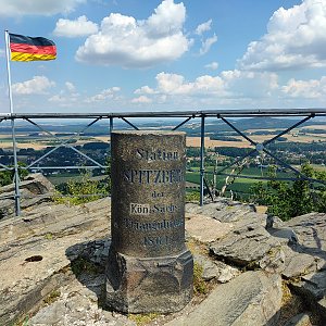
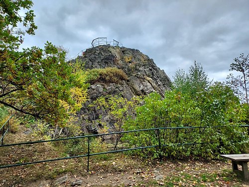
It is a zink igneous rock protruding above the surrounding landscape. At the top is the historic pillar of the Royal Saxon Triangulation - Station 43 Spitzberg. On its NE and E slopes there are many climbing routes from easy to difficult, which are secured with bolts and rivets. There is also a short via ferrata. A little below the summit there is a nice restaurant where you can have a good coffee for €2 (10/2021). About 500 m northeast of the summit there is a bobsleigh track.
Note: In some maps it is shown with the longer name Oberoderwitzer Spitzberg, in others with the shorter name Spitzberg.
There is no chalet on the peak.
Peak is not stroller accessible.
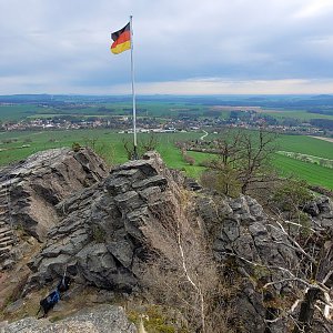
There are views from the peak.
There is no cable car to this peak.
There is also a via ferrata leading to the summit.
Peak is freely accessible.
Nearest peaks: Hofeberg (413 m, 1.4 km) Richterberg (401 m, 1.9 km)
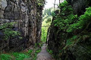 Přechod Lužických hor
| today | tomorrow | day after tomorrow | |
|---|---|---|---|
| Dawn: | 6:22 | 6:23 | 6:25 |
| Sunrise: | 6:56 | 6:58 | 7:00 |
| Sunset: | 16:32 | 16:31 | 16:29 |
| Dusk: | 17:07 | 17:05 | 17:04 |