


Hiking, 13 km
28.7.2026
 Rakousko
Logged on Vrcholovka 1x in total. Vrchol Kuhberg / Kravji vrh was added here by Jan Blažej and info was completed by Jiří Králík a Jan Blažej.
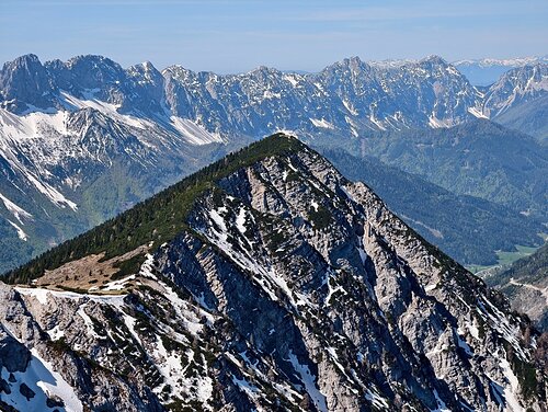
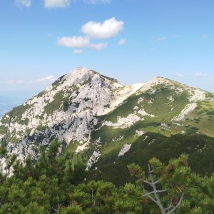
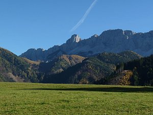
On the ascent to Hochobir from the Schaidasattel saddle, you can divert from the red hiking trail to this peak, which is part of a short ridge. The path is marked with red dots and mostly leads through the forest along a well-trodden path, until at the summit the trail goes through a thicket. The view from the top is stunning, especially of the main massif of the Kamnik and Savinja Alps with the highest peak Grintovec.
There is no chalet on the peak.
Peak is not stroller accessible.
There are views from the peak.
There is no cable car to this peak.
No special equipment is required for this summit.
Peak is freely accessible.
Nearest peaks: Kuhberg / Cow's litter SV (2025 m, 0.4 km) Schaidhügel (2073 m, 1.3 km) Hochobir untererturm (2096 m, 1.6 km) Freibachturm (2044 m, 1.7 km) Hochobir Upper Tower (2123 m, 1.7 km) Rainerhügel (2054 m, 1.7 km) Hochobir / Ojstrc (2139 m, 1.8 km) Wildenstein Tower (1940 m, 2.1 km) Kleinobir / Malí Obir (1953 m, 2.7 km)
 Přechod hraničního hřebene Rakousko - Slovinsko
 Hřebenovka snů - přechod hlavního hřebene Karavanek
 Přechod hřebene Košuta
| today | tomorrow | day after tomorrow | |
|---|---|---|---|
| Dawn: | 6:13 | 6:15 | 6:16 |
| Sunrise: | 6:45 | 6:46 | 6:48 |
| Sunset: | 16:46 | 16:44 | 16:43 |
| Dusk: | 17:17 | 17:16 | 17:14 |
