
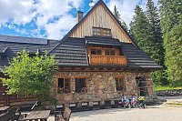


Hiking, 23 km
14.8.2026
 Polsko
Logged on Vrcholovka 40x in total. Peak information here was completed by Bouřka, Martin Matějka, Rastislav Biarinec, Milda a Alexandr Starý.
Klin is part of challenges: Crown of the Tatras, Dunajec Basin, Highest SK, Slovensko 200+, TATRANSKÉ 2000 PO ZNAČCE, Tatranský turista, TATRY 2000/100, The Highest Peaks of the Western Tatras, Váh Basin
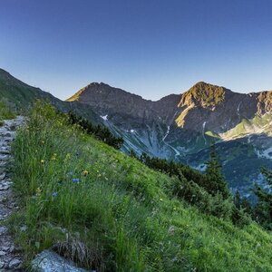
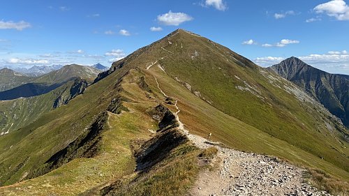
Klin is a mountain in the Western Tatras on the Slovak-Polish border, known in Polish as Starorobociański Wierch. It is a massive peak in the main ridge, living up to its name - it forms a huge wedge between the Bystrá and Jakubina massifs. The ascent from both sides is strenuous but without technical difficulties. In winter (practically until June), however, the entire Tatras in Slovakia are closed. So you might have to forgo access from Bystrá or Jakubina. On the other hand, from Poland, you can reach the summit from the Chocholowska Valley in reasonable weather, even with snow.
There is no chalet on the peak.
Peak is not stroller accessible.
There are views from the peak.
There is no cable car to this peak.
No special equipment is required for this summit.
Peak is freely accessible.
Nearest peaks: Sivá veža (1965 m, 0.7 km) Končistá (2002 m, 1.1 km) Kopa Prawdy (2027 m, 1.4 km) Kotłowa Czubka (1840 m, 1.4 km) Jakubina (2194 m, 1.5 km) Czubik (1846 m, 1.7 km) Hrubý vrch (2137 m, 1.8 km) Bystrá JZ (2152 m, 1.9 km) Zadni Ornak (1867 m, 1.9 km) Bystrá (2248 m, 2 km) Grúň (2108 m, 2.1 km) Grúň JZ (2066 m, 2.1 km) Grúň SV (2126 m, 2.1 km) Vyšná Magura (2092 m, 2.3 km) Nižná Bystrá (2162 m, 2.4 km) Ornak (1854 m, 2.4 km) Trzydniowiański Wierch (1758 m, 2.5 km) Suchy Wierch Ornaczański (1832 m, 2.7 km) Nižná Bystrá JV (2096 m, 2.8 km) Ostredok (2050 m, 3.1 km) Ježová (2043 m, 3.5 km) Nižná Magura (1920 m, 3.5 km)
 Výstup ke schronisku na Hali Ornak v Západních Tatrách
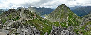 Výstup k chatě Hala Kondratowa a dále na Wielki Giewont ve Vysokých Tatrách
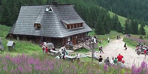
 Łopata

| today | tomorrow | day after tomorrow | |
|---|---|---|---|
| Dawn: | 6:40 | 6:41 | 6:43 |
| Sunrise: | 7:12 | 7:14 | 7:15 |
| Sunset: | 17:37 | 17:36 | 17:34 |
| Dusk: | 18:10 | 18:08 | 18:06 |