Weißeneck (2563 m a.s.l., Radstadtské Taury)
Register and log summit
Weather Weißeneck

About peak Weißeneck
 Rakousko
Vrchol Weißeneck was added here by Jan Blažej.
Help others and .
- Chalet/accommodation
-
There is no chalet on the peak.
- Stroller access
-
Peak is not stroller accessible.
- Views
-
There are views from the peak.
- Cable car
-
There is no cable car to this peak.
- Equipment
-
No special equipment is required for this summit.
- Accessibility
-
Peak is freely accessible.
Nearest peaks: Vorderes Weißeneck (2550 m, 0.4 km) Viertleck (2340 m, 1.2 km) Grubachspitze (2428 m, 1.3 km) Lackenspitze (2459 m, 1.8 km) Lapernigspitze (2369 m, 2 km) Malutzspitze (2468 m, 2.2 km) Zeppspitze (2507 m, 2.3 km)
Routes nearby
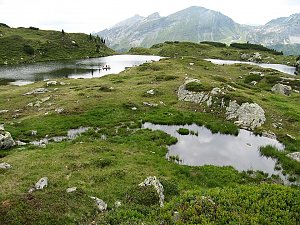 Výstup na Seekarspitze
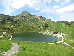 Přechod Schladmingských Taur s dětmi
(elevation gain 3120 m, 40 km)
Webcams
(2296 m a.s.l., 7.1 km)
 Obertauern
(2296 m a.s.l., 7.1 km)
 Obertauern
(2296 m a.s.l., 7.1 km)
 Obertauern: Seekar
(2296 m a.s.l., 7.1 km)
 Obertauern: Gamsleiten
( 7.2 km)
 Sankt Michael im Lungau: Speiereck - Grosseck Speiereck
(2348 m a.s.l., 7.3 km)
 Sankt Michael im Lungau: Grosseck - Grosseck Speiereck
(2348 m a.s.l., 7.3 km)
 Sankt Michael im Lungau: Sonnebahn - Grosseck Speiereck
(2348 m a.s.l., 7.3 km)
 Obertauern: Apparthotel Auerhahn
(1634 m a.s.l., 7.3 km)
 Obertauern: Schaidberg
( 7.3 km)
 Tweng: Obertauern - Gamsleiten
( 7.3 km)
 Obertauern: Zehnerkar
( 7.4 km)
 Obertauern: Plattenkar
( 7.6 km)
 Obertauern: Gamsleiten
(1692 m a.s.l., 7.7 km)
 Obertauern: Zehnerkar
(1730 m a.s.l., 8 km)
 Obertauern: Webcam − Partymeile: Blick aud die Edelweiss- Flutlichtpiste, Gruberstadl, Latschnalm und Lürzeralm
(1739 m a.s.l., 8.1 km)
 Mauterndorf: Grosseck
( 8.1 km)
 Obertauern: Blick von der Kirchbühelbrücke
(1717 m a.s.l., 8.2 km)
 Obertauern: Kirchbühel
( 8.4 km)
 Mauterndorf: Grosseck - Grosseck Sender Bergstation, Bergstation Großeckbahn
( 8.4 km)
 Obertauern › North-East: Zehnerkarbahn − Skilift Kirchbühellift − Obertauern Passhöhe
(1694 m a.s.l., 8.6 km)
 Obertauern: Seekar
(1654 m a.s.l., 8.8 km)
 Sankt Michael im Lungau: St. Michael - Sonnenbahn Bergstation
( 8.9 km)
 Untertauern: Hundsfeldsee - Obertauern - Blick zum Seekarhaus
( 9.2 km)
 Untertauern: Hundsfeldsee - Obertauern - Blick zum Seekarhaus
(1787 m a.s.l., 9.2 km)
 Obertauern: Grünwaldkopf
( 9.3 km)
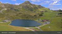 Obertauern: Seekar
( 9.6 km)
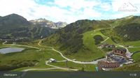 Obertauern: Hotel Das Seekarhaus
(1805 m a.s.l., 9.7 km)
 Untertauern: Hotel Das Seekarhaus Obertauern
( 9.7 km)
 Obertauern: Seekarhaus − Talstation Seekarspitzbahn
(1810 m a.s.l., 9.8 km)
 Untertauern › North-west: Seekarspitzbahn Talstation - Seekarspitze
( 9.8 km)
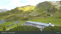
 Obertauern: Hochalmkopf
( 9.9 km)
Sun
| today | tomorrow | day after tomorrow | |
|---|---|---|---|
| Dawn: | 7:04 | 7:05 | 6:07 |
| Sunrise: | 7:35 | 7:36 | 6:38 |
| Sunset: | 18:04 | 18:02 | 17:01 |
| Dusk: | 18:35 | 18:34 | 17:32 |