Palnock (1901 m a.s.l., Gurktalské Alpy)
Register and log summit
Weather Palnock

About peak Palnock
 Rakousko
Vrchol Palnock was added here by Jan Blažej.
Help others and .
- Chalet/accommodation
-
There is no chalet on the peak.
- Stroller access
-
Peak is not stroller accessible.
- Views
-
There are views from the peak.
- Cable car
-
There is no cable car to this peak.
- Equipment
-
No special equipment is required for this summit.
- Accessibility
-
Peak is freely accessible.
Nearest peaks: Lahnernock (1861 m, 2.6 km)
Routes nearby
Výstup na Dobratsch - pohodový vyhlídkový vrchol nad Villachem
(elevation gain 1300 m, )
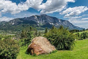 Výstup na nejzápadnější vrchol Karavanek - Ofen (slovinsky Peč, italsky Monto Forno)
(elevation gain 1000 m, 11 km)
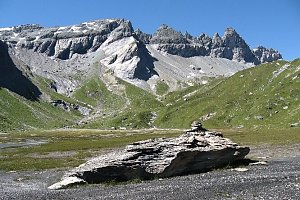 Snadný výstup na vyhlídkový Ofen v Karavankách
Routes provided by SvetOutdooru.cz
(elevation gain 1300 m, )
Výstup na nejzápadnější vrchol Karavanek - Ofen (slovinsky Peč, italsky Monto Forno)(elevation gain 1000 m, 11 km)
Snadný výstup na vyhlídkový Ofen v Karavankách
Mountain chalets
Webcams
Ferndorf › South-west: Döbriach am Millstätter See
( 8.5 km)
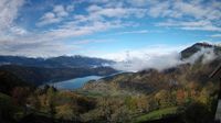 Dobriach: am Millstätter See
(1130 m a.s.l., 8.5 km)
 Dobriach: Alpengasthof Bergfried
(1130 m a.s.l., 8.5 km)
 Radenthein › South
( 9.3 km)
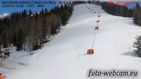
 Feld am See: Bad Kleinkirchheim - Maibrunn Berg - Blick auf Sonnenhang
(1742 m a.s.l., 9.4 km)
 Radenthein
(605 m a.s.l., 9.4 km)
 Bad Kleinkirchheim: Strohsack - Blick in den Biosphärenpark Nockberge
(1877 m a.s.l., 9.8 km)
Cameras provided by windy.com
( 8.5 km)
Dobriach: am Millstätter See(1130 m a.s.l., 8.5 km)
Dobriach: Alpengasthof Bergfried(1130 m a.s.l., 8.5 km)
Radenthein › South( 9.3 km)
Feld am See: Bad Kleinkirchheim - Maibrunn Berg - Blick auf Sonnenhang(1742 m a.s.l., 9.4 km)
Radenthein(605 m a.s.l., 9.4 km)
Bad Kleinkirchheim: Strohsack - Blick in den Biosphärenpark Nockberge(1877 m a.s.l., 9.8 km)
Sun
| today | tomorrow | day after tomorrow | |
|---|---|---|---|
| Dawn: | 7:04 | 6:05 | 6:07 |
| Sunrise: | 7:35 | 6:36 | 6:38 |
| Sunset: | 18:02 | 17:01 | 16:59 |
| Dusk: | 18:33 | 17:32 | 17:30 |