Hochtausing (1822 m a.s.l., Totes Gebirge)
Register and log summit
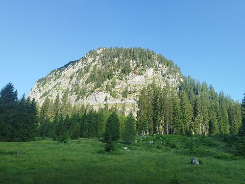

About peak Hochtausing
 Rakousko
Vrchol Hochtausing was added here by Jan Blažej and info was completed by Jan Blažej a Jiří Králík.
A via ferrata leads to the summit.
- Chalet/accommodation
-
There is no chalet on the peak.
- Stroller access
-
Peak is not stroller accessible.
- Views
-
There are views from the peak.
- Cable car
-
There is no cable car to this peak.
- Equipment
-
No special equipment is required for this summit.
- Accessibility
-
Peak is freely accessible.
Nearest peaks: Reidling (1909 m, 1.5 km) Gameringstein (1293 m, 1.7 km) Wörschacher Raidling (1912 m, 1.7 km) Aicherlstein (1180 m, 3.4 km)
Routes nearby
(elevation gain 1500 m, 31 km)
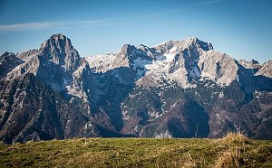 Výstup na vrcholy Toter Mann a Warscheneck v pohoří Totes Gebirge
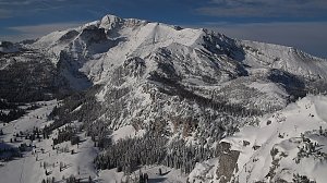
(elevation gain 2100 m, 21 km)


Sun
| today | tomorrow | day after tomorrow | |
|---|---|---|---|
| Dawn: | 6:05 | 6:06 | 6:08 |
| Sunrise: | 6:36 | 6:38 | 6:39 |
| Sunset: | 16:58 | 16:56 | 16:54 |
| Dusk: | 17:29 | 17:27 | 17:26 |