




Other activity
ne, 12.10.2025, 14:34
 Česko
Pardubice (Pardubický kraj)
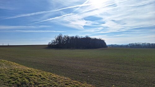
Logged on Vrcholovka 1x in total. Vrchol Stropinský vrch was added here by Jakub.
The peak is located 29 meters above the Chrudimka River between the village of Úhřetická Lhota and the hamlet of Hostovice. It is the highest peak in the Pardubice cadastre. This hill was formerly known as Strupina.
There is no chalet on the peak.
Peak is not stroller accessible.
Železné hory (southern part of the peak),
Orlické hory (northeastern part of the peak),
Krkonoše (northern part of the peak)
There is no cable car to this peak.
No special equipment is required for this summit.
There is no official path leading to the summit.
| today | tomorrow | day after tomorrow | |
|---|---|---|---|
| Dawn: | 6:58 | 6:59 | 6:01 |
| Sunrise: | 7:31 | 7:33 | 6:34 |
| Sunset: | 17:50 | 17:48 | 16:46 |
| Dusk: | 18:23 | 18:21 | 17:19 |