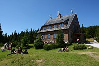
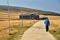


Hiking, 7 km
14.9.2026
 Česko
Trutnov (Královéhradecký kraj)
Logged on Vrcholovka 32x in total. Peak information here was completed by Martin Matějka, Krtek a Jiřina.
Javor is part of challenges: Koruna Sudet, The Highest Mountains of Hradec Králové Region, Thousanders of the Czech Republic, Tisícovky Krkonoš
The summit is not marked and is gradually being mined.
There is no chalet on the peak.
Peak is not stroller accessible.
to the north, due to mining, both Sněžka and the Úpa valley are clearly visible
There is no cable car to this peak.
No special equipment is required for this summit.
Peak is freely accessible.
Nearest peaks: Vlašský vrch (1037 m, 0.8 km) Slatinná stráň (1153 m, 1.8 km) Skalka (888 m, 2.1 km) Signál (1175 m, 3 km) Světlá (1244 m, 3.3 km)
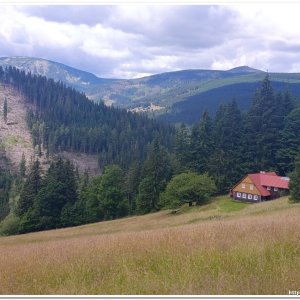
 Pec pod Snezkou: Javor
 Pec pod Snezkou › West: HOTELHORIZONT
 Pec pod Snezkou: Bobová dráha
 Pec pod Snezkou: Schneekope
 Pec pod Snezkou: Schneekope
 Pec pod Snezkou: Velká Úpa - Velká Úpa, POI 1
 Pec pod Snezkou › East: Cerná Hora
 Janske Lazne: Černá hora - Vysílač ČRa
 Janske Lazne: Janské Lázně, Černá hora - Pod Sokolskou boudou
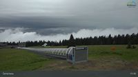 Janske Lazne: Janské Lázně, Černá hora - Pod Sokolskou boudou
 Janske Lazne › South-West
 Janske Lazne: Černá Hora Lookout
 Janske Lazne: Janské Lázně, Černá hora - Černá hora
 Janske Lazne: Janské Lázně, Černá hora - Černá hora
 Janske Lazne › South
 Pec pod Snezkou › North
 Černá Hora: Zinneckerovy boudy
 Tetrevi Boudy
 Janske Lazne: Janské Lázně, Černá hora - Hoffmanky
 Janske Lazne › East
 Cerna Hora › South: Janské Lázně
 Pec pod Snezkou: Krkonoše, Sněžka, nová lanovka (pohled na jih)
 Mala Upa: Sněžka - lanovka
 Mala Upa: Sněžka - lanovka
 Sněžka, pohled na Studniční horu
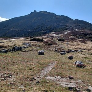
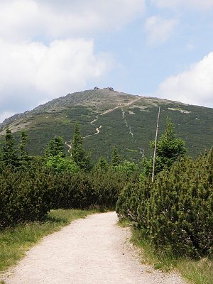
 Sněžka
 Karpacz: Sněžka
 Pec pod Snezkou: ŚNIEŻKA
 Černý Důl
 Cerny Dul: Černý Důl
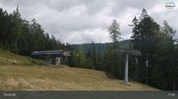 Karpacz › East: Dom Śląski Karpacz
 Janske Lazne: Janské Lázně, Černá hora - Černá hora
 Pec pod Snezkou › East: Luční bouda - Královéhradecký kraj, Česko
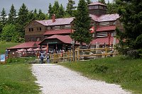
 Pec pod Snezkou: Krkonoše - Luční bouda (pohled na boudu se sezením)

| today | tomorrow | day after tomorrow | |
|---|---|---|---|
| Dawn: | 6:59 | 7:01 | 6:02 |
| Sunrise: | 7:33 | 7:34 | 6:36 |
| Sunset: | 17:49 | 17:47 | 16:45 |
| Dusk: | 18:23 | 18:21 | 17:19 |