



Hiking, 27 km
16.7.2026
 Rakousko
Logged on Vrcholovka 1x in total. Vrchol Ofenhöhe was added here by Bouřka and info was completed by Jan Blažej.
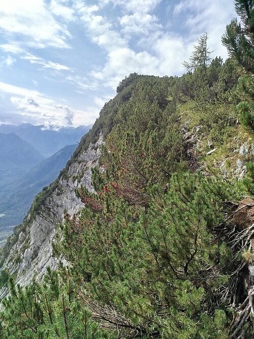
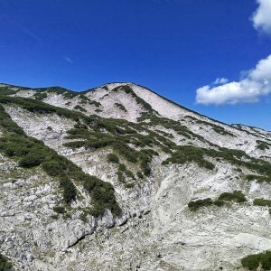
From the red hiking trail leading to Großer Höllkogel, a turnoff on an unmarked path leads to 2 peaks: Ofenhöhe (you can reach the summit directly) and Grillkopf (there is dwarf pine at the very top, you can get about 5m from the summit).
There is no chalet on the peak.
This peak is accessible with a stroller.
There are views from the peak.
There is no cable car to this peak.
No special equipment is required for this summit.
Peak is freely accessible.
Nearest peaks: Grillkopf (1621 m, 0.4 km) Schneekogel (1403 m, 0.8 km) Ofentalgupf (1701 m, 1 km) Christina-Stefan-Kogel (1710 m, 1.4 km) Brunnkogel (1508 m, 1.9 km) Grosser Höllkogel (1862 m, 1.9 km) Helmeskogel (1633 m, 1.9 km) Totengrabengupf (1782 m, 1.9 km) Hinterer Kesselgupf (1787 m, 2.3 km) Buttergupf (1413 m, 2.4 km) Kleiner Höllkogel (1788 m, 2.4 km) Mitlerer Kesselgupf J (1775 m, 2.5 km) Mittlerer Kesselgupf (1818 m, 2.6 km) Steinkogel (1644 m, 2.6 km) Langwandkogel (1564 m, 2.7 km) Latschenkogel (1525 m, 2.8 km) Vorderer Kesselgupf (1823 m, 2.8 km) Heumahdgupf (1680 m, 3 km) Alberfeldkogel (1707 m, 3.1 km) Pledigupf (1622 m, 3.3 km) Eiblgupf (1813 m, 3.4 km) Eiblgupf JZ (1815 m, 3.4 km) Feuerkogel (1592 m, 3.4 km)
| today | tomorrow | day after tomorrow | |
|---|---|---|---|
| Dawn: | 6:10 | 6:11 | 6:13 |
| Sunrise: | 6:42 | 6:43 | 6:45 |
| Sunset: | 16:56 | 16:54 | 16:52 |
| Dusk: | 17:27 | 17:26 | 17:24 |
