



Hiking, 24 km
22.6.2025
 Polsko
Logged on Vrcholovka 1x in total. Vrchol Szczytniak was added here by Milda.
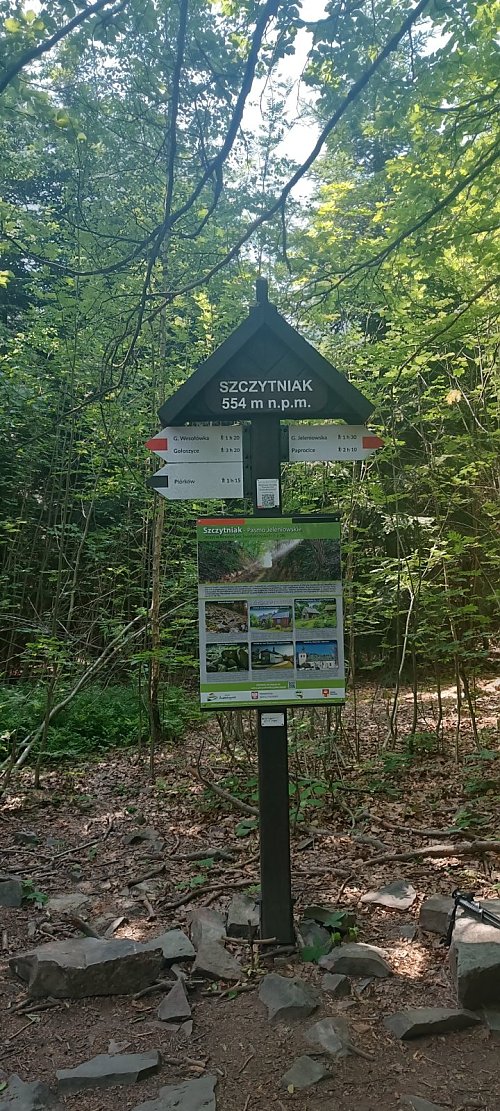
The highest peak of the Jeleniowskie Mountains, part of the Jeleniowski Landscape Park. It belongs to the Crown of the Holy Cross Mountains, a regional badge of the PTTK Świętokrzyskie branch in Kielce [https://kgs.info.pl/]. On the northern slope, there is a 6.16-hectare nature reserve "Szczytniak," established in 1994. The protected subjects are fragments of the original beech-fir forest, outcrops of Upper Cambrian sandstones, and rock fields. The Koprzywianka River, a left tributary of the Vistula, springs on the southern slope of Szczytniak. During World War II, partisan groups "Ponury" and "Saszki" operated in the forests of this region. The summit of Szczytniak is traversed by the red tourist trail, the Główny Szlak Świętokrzyski from Gołoszyce to Kuźniaki, named after Edmund Massalski.
There is no chalet on the peak.
Peak is not stroller accessible.
There are no views from the peak.
There is no cable car to this peak.
No special equipment is required for this summit.
Peak is freely accessible.
| today | tomorrow | day after tomorrow | |
|---|---|---|---|
| Dawn: | 5:52 | 5:54 | 5:55 |
| Sunrise: | 6:27 | 6:28 | 6:30 |
| Sunset: | 16:10 | 16:09 | 16:07 |
| Dusk: | 16:45 | 16:43 | 16:41 |
