


Hiking, 24 km
22.6.2025

 Polsko
Logged on Vrcholovka 1x in total. Vrchol Kamień Michniowski was added here by Milda.
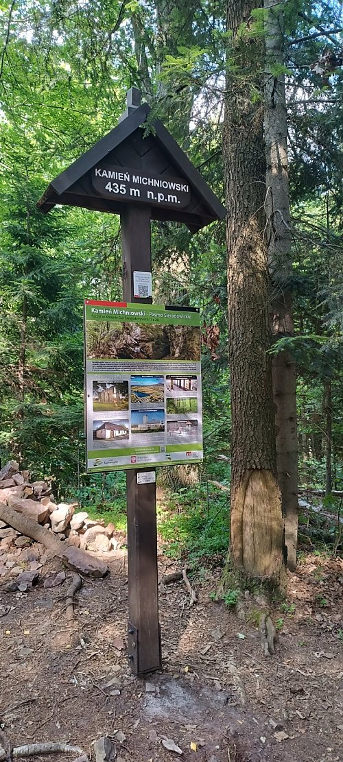
The highest peak of the Sieradowice range in the northern part of the Świętokrzyskie Mountains, situated between the Kamionka valley to the west and the Psarka valley to the east. Kamień Michniowski is located in the western part of the Sieradowice Landscape Park and is composed of Triassic sandstones. The slopes of the hill feature the Kamień Michniowski nature reserve with outcrops of Triassic sandstones and interesting rock vegetation. In the area of the outcrop, there is the Ponury cave, the longest pseudokarst fissure cave in the Świętokrzyskie Mountains, measuring 25 m in length. It served as a hideout for insurgents and during World War II for partisans. At the foot of the mountain lies the village of Michniów. During World War II, many residents of Michniów fought in partisan units. In July 1943, a German punitive expedition pacified the village and in two waves, they massacred all Poles in the village regardless of age and gender. A total of at least 204 residents of Michniów died over two days. The village was completely burned down. After the war, it was rebuilt and currently houses the Mausoleum of the Martyrdom of Polish Villages.
Near the summit, there are two hiking trails: the blue trail from Suchedniów to Berezówa and the black trail from Barbarka to Kamień Michniowski. You can reach the summit along the wooden chapel of Christ the Suffering, following the direction of the arrow. The summit is 90 m from the chapel.
Kamień Michniowski is part of the Crown of the Świętokrzyskie Mountains. The badge "Crown of the Świętokrzyskie Mountains" is a regional badge of PTTK Świętokrzyskie branch in Kielce [https://kgs.info.pl/].
There is no chalet on the peak.
Peak is not stroller accessible.
There are no views from the peak.
There is no cable car to this peak.
No special equipment is required for this summit.
Peak is freely accessible.
| today | tomorrow | day after tomorrow | |
|---|---|---|---|
| Dawn: | 5:49 | 5:50 | 5:52 |
| Sunrise: | 6:23 | 6:25 | 6:26 |
| Sunset: | 16:16 | 16:15 | 16:13 |
| Dusk: | 16:51 | 16:49 | 16:47 |
