




Hiking, 23 km
21.6.2025
 Polsko
Logged on Vrcholovka 1x in total. Vrchol Radostowa was added here by Milda.
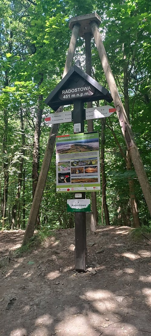
At the summit, in addition to the trail sign, there are remnants of a triangulation tower and a wooden cross erected in 2018 by the residents of Bęczków to commemorate the centenary of Poland's regained independence. A little below the summit, there is a tourist shelter.
The name Radostowa is similar to the name of the Czech mountain Radhošť. Both names are likely related to the Slavic god Radogost.
Radostowa is traversed by the red tourist trail, the Main Świętokrzyski trail named after Edmund Massalski from Gołoszyce to Kuźniaki.
There is no chalet on the peak.
Peak is not stroller accessible.
There are no views from the peak.
There is no cable car to this peak.
No special equipment is required for this summit.
Peak is freely accessible.
| today | tomorrow | day after tomorrow | |
|---|---|---|---|
| Dawn: | 6:41 | 5:42 | 5:44 |
| Sunrise: | 7:15 | 6:16 | 6:18 |
| Sunset: | 17:26 | 16:24 | 16:23 |
| Dusk: | 18:00 | 16:58 | 16:57 |
