




Hiking, 23 km
21.6.2025
 Polsko
Logged on Vrcholovka 1x in total. Vrchol Klonówka was added here by Milda.
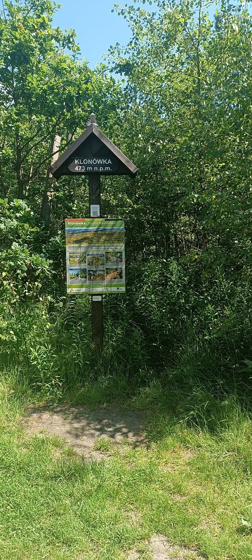
Klonówka is a ridge located in the eastern part of the Masłów Mountains. It stretches 3 km from the village of Masłów in the west to the Lubrzanka gorge in the east. The ridge, like the entire Masłów Mountains, is composed of quartz sandstones and Cambrian slates. At its highest point, located in the western part of the ridge, it reaches an elevation of 473 m above sea level. From the viewpoint 280 m east of the summit, you can admire the Dyminy Mountains with Telegraf to the south, the Otrocza group, and the Brzechowskie Mountains, while to the north, a view of the Klonowskie Mountains opens up through the trees.
The red tourist trail, the Main Świętokrzyski Trail named after Edmund Massalski, runs along the Klonówka ridge from Gołoszyce to Kuźniaki. The trail bypasses the highest point of the ridge. The direction to the summit is marked by an arrow placed at the viewpoint.
There is no chalet on the peak.
Peak is not stroller accessible.
From a nearby viewpoint
There is no cable car to this peak.
No special equipment is required for this summit.
Peak is freely accessible.
| today | tomorrow | day after tomorrow | |
|---|---|---|---|
| Dawn: | 5:43 | 5:44 | 5:46 |
| Sunrise: | 6:16 | 6:18 | 6:20 |
| Sunset: | 16:25 | 16:23 | 16:21 |
| Dusk: | 16:59 | 16:57 | 16:55 |
