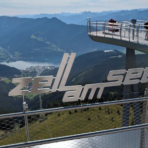
Hiking, 43 km
28.7.2023 to 30.7.2023
 Rakousko
Logged on Vrcholovka 23x in total. Vrchol Schmittenhöhe was added here by Marek and info was completed by Martin Matějka.
Help others and .
There is a chalet on the peak.
This peak is accessible with a stroller.
There are views from the peak.
from Zell am See
No special equipment is required for this summit.
Peak is freely accessible.
Nearest peaks: Salersbachköpfl (1934 m, 1.2 km) Kettingkopf (1865 m, 1.3 km) Kesselkopf (1854 m, 1.7 km) Schrambachkopf (Sonnkogel) (1856 m, 2.2 km)
 Výstup k vrcholům Hundstein a Schwalbenwand
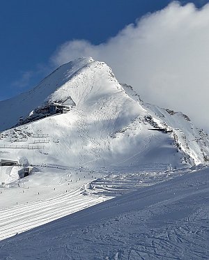
 Kitzsteinhorn turisticky
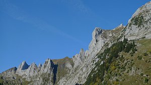
 Přechod hřebene Steinberge
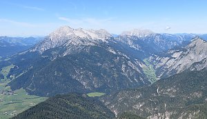 VHT přechod hřebene Vysokých Taur - Alpská maturita
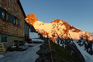 Grosses Wiesbachhorn (3564 m) – výstup na žraločí ploutev Vysokých Taur
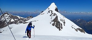 Výstup na Großes Wiesbachhorn
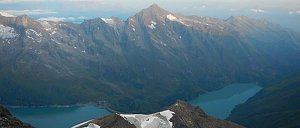 Výstup na štíty Grosser a Mittlerer Bärenkopf
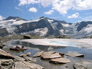
 Zell am See: Schmitten
 Piesendorf: Schmittenhöhe
 Zell am See: FlyingCam
 Zell am See: Schmittenhöhe
 Zell am See: zellamseeXpress
 Zell am See: Sonnkogel
 Dürnberg: Glocknerwiese Areit
 Zell am See: Hochmais Schmittenhöhe: Hochmais Schmittenhöhe
 Aufhausen: E-Motocross Park Areit: E-Motocross Park Areit Schmittenhöhe
 Piesendorf › South-West: Volksschule Piesendorf − Piesendorf Bundesstraße − Familieberg Maiskogel
 Viehhofen: zellamseeXpress
 Viehhofen
 Zell am See: Hotel Berner
 Zell am See: airport west
 Zell am See: airport north
 Zell am See › South-West
 Zell am See: Appartement ZellamSee - areitXpress - Schmittenhöhe - Kitzsteinhorn Gletscher
 Kaprun: Tauern SPA
 Maishofen › East: Maishofen Ortsmitte - Maishofen-Saalbach
 Zell am See › North
 Zell Am See › South-East
 Zell am See › North-East: Zell am See Airport
 Viehhofen: Maishofen - Sausteige - Blick nach Südosten
 Kaprun: Kitzsteinhorn - Maiskogel

| today | tomorrow | day after tomorrow | |
|---|---|---|---|
| Dawn: | 6:10 | 6:12 | 6:13 |
| Sunrise: | 6:42 | 6:43 | 6:45 |
| Sunset: | 17:04 | 17:02 | 17:00 |
| Dusk: | 17:35 | 17:33 | 17:32 |