
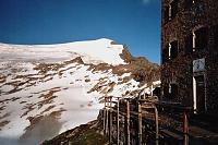



Hiking, 11 km
14.7.2023
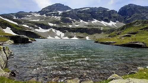

 Rakousko
Logged on Vrcholovka 1x in total. Vrchol Plattachsee was added here by Sonatomi.
Trail junction by the lake.
There is no chalet on the peak.
Peak is not stroller accessible.
There are views from the peak.
There is no cable car to this peak.
No special equipment is required for this summit.
Peak is freely accessible.
Nearest peaks: Weinbichl (2556 m, 1.9 km) Hörndl (2853 m, 2.1 km)
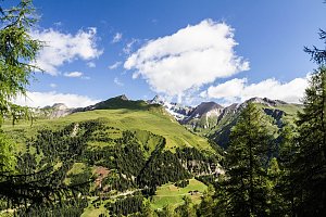 Výstup na Großvenediger přes Neue Prager Hütte
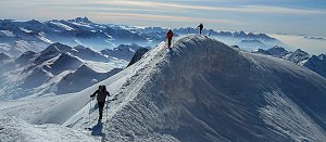 Výstup na vrchol Krisstalwand
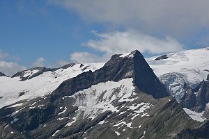 Výstup na vrchol Weisspitze
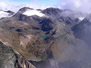
| today | tomorrow | day after tomorrow | |
|---|---|---|---|
| Dawn: | 7:08 | 7:10 | 6:11 |
| Sunrise: | 7:39 | 7:41 | 6:42 |
| Sunset: | 18:08 | 18:07 | 17:05 |
| Dusk: | 18:40 | 18:38 | 17:36 |