


Hiking
st, 13.5.2026, 15:30
 Česko
Mladá Boleslav (Středočeský kraj)
Logged on Vrcholovka 3x in total. Vrchol Radechov was added here by endless and info was completed by Martin Matějka.
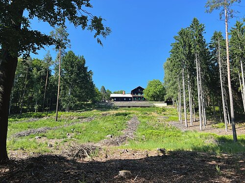
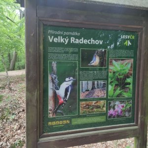
A basalt hill on the gravel terrace of the Jizera River. The most prominent peak of the Jizera Table. The summit area, featuring an old flowering beech forest, is protected by the same-named nature reserve. North of the summit lies an abandoned basalt quarry, and south of the summit is the former hunting lodge of the Waldstein family from the mid-19th century.
There is no chalet on the peak.
Peak is not stroller accessible.
There are views from the peak.
There is no cable car to this peak.
No special equipment is required for this summit.
Peak is freely accessible.
Nearest peaks: Malý Radechov (357 m, 1.5 km) Kozí hřbet (306 m, 2.2 km)
| today | tomorrow | day after tomorrow | |
|---|---|---|---|
| Dawn: | 7:03 | 7:04 | 6:06 |
| Sunrise: | 7:36 | 7:38 | 6:39 |
| Sunset: | 17:53 | 17:51 | 16:49 |
| Dusk: | 18:26 | 18:24 | 17:23 |



