

Hiking, 48 km
7.2.2026
 Česko
Frýdek-Místek (Moravskoslezský kraj)
Logged on Vrcholovka 21x in total. Vrchol Strážnice was added here by NadWei and info was completed by NadWei, Alexandr Starý a Martin Matějka.
Strážnice is part of challenge: Nejhory Podbeskydska
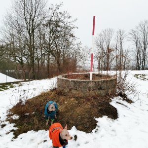
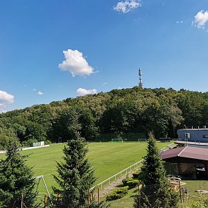
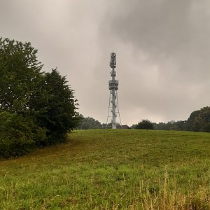
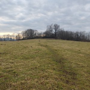
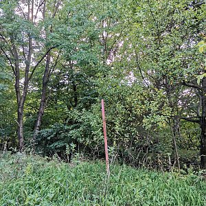
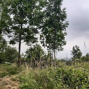
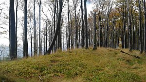
Strážnice Hill is part of the Moravian-Silesian Gate, located in the Moravian-Silesian Region. Strážnice Hill has an elevation of 393 m and is situated near the village of Staříč. A marked cycling route number 6003 runs around the hill, which leads to the nearby Olešná reservoir. However, this cycling route does not reach the summit, which is accessible only on foot. The hill got its name in ancient times from the settlement of Strážiště that once stood on it. Fortifications and watchtowers were built on elevated, strategically located sites to protect trade caravans traveling along the trade route. The summit offers beautiful views of the surrounding landscape.
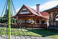
There is no chalet on the peak.
Peak is not stroller accessible.
There are views from the peak.
There is no cable car to this peak.
No special equipment is required for this summit.
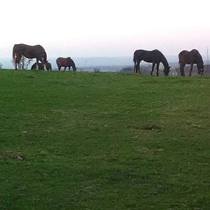
Electric fence available.
Nearest peaks: Okrouhlá (373 m, 0.6 km) Kamenná (384 m, 1.3 km) Řepník JZ (343 m, 2 km)
| today | tomorrow | day after tomorrow | |
|---|---|---|---|
| Dawn: | 6:46 | 6:48 | 6:49 |
| Sunrise: | 7:19 | 7:21 | 7:22 |
| Sunset: | 17:43 | 17:41 | 17:39 |
| Dusk: | 18:15 | 18:14 | 18:12 |