


By cable car
pá, 21.2.2025, 15:14

 Rakousko
Logged on Vrcholovka 1x in total. Vrchol Sonnenhohe was added here by Jiří Králík.
Help others and .
There is no chalet on the peak.
Peak is not stroller accessible.
limited
ski lift, poma
No special equipment is required for this summit.
Peak is freely accessible.
Nearest peaks: Kanzelhöhe (1524 m, 0.3 km) Gerlitzen (1909 m, 1.9 km)
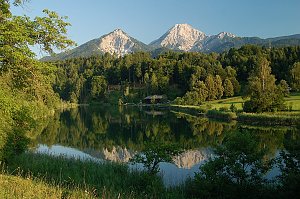 Výstup na Mittagskogel - strážce korutanských jezer v Karavankách
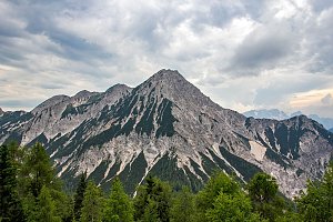 Výstup na vrchol Dovška Baba a Kepa
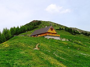 Výstup na nejzápadnější vrchol Karavanek - Ofen (slovinsky Peč, italsky Monto Forno)
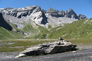 Snadný výstup na vyhlídkový Ofen v Karavankách
Túra okolím Kranjské Gory
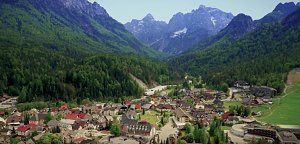 Juliana Trail: okruh kolem Julských Alp
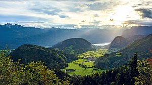 Výstup na travnatou Golicu
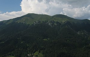 Výstup na Narcisovou horu Golico v Karavankách

 Treffen am Ossiacher See: Gerlitzen Mittelstation
 Finkenstein am Faaker See: Observatorium Kanzelhöhe °
 Finkenstein am Faaker See: Observatorium Kanzelhöhe °
 Finkenstein am Faaker See: Observatorium Kanzelhöhe °
 Treffen am Ossiacher See: Observatorium Kanzelhöhe °
 Treffen am Ossiacher See: Observatorium Kanzelhöhe °
 Treffen am Ossiacher See: Observatorium Kanzelhöhe °
 Treffen am Ossiacher See: Observatorium Kanzelhöhe °
 Treffen am Ossiacher See: Observatorium Kanzelhöhe °
 Hecher: Villach - Ossiacherberg - Blick Richtung Süden
 Steindorf am Ossiacher See: Panoramakamera Gerlitzen
 Arriach: Gerlitzen - Panoramakamera
 Treffen am Ossiacher See: Alpinhotel Pacheiner - Panoramakamera
 Steindorf am Ossiacher See: Panoramakamera Pacheiner
 Steindorf am Ossiacher See: Alpinhotel Pacheiner
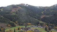 Treffen am Ossiacher See › South-West
 Treffen am Ossiacher See: Gerlitzen - Birkenhofabfahrt
 Treffen am Ossiacher See: Gerlitzen - Birkenhofabfahrt
 Steindorf am Ossiacher See: Gerlitzen - Wörthersee 6er-Family-Jet
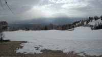 Steindorf am Ossiacher See: Gerlitzen - Wörthersee 6er-Family-Jet
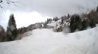 Steindorf am Ossiacher See: Mountain Resort Feuerberg
 Arriach: Gerlitzen - Neugarten Speed Abfahrt
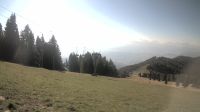 Arriach › South: Gerlitzen - Neugarten
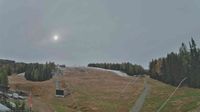 Arriach: Gerlitzen - Neugarten
 Arriach: Gerlitzen
 Arriach: Gerlitzen - Klösterle Mitte
 Ossiach: Ossiachersee Schifffahrt
 Sankt Andra: Sehr geehrter Kunde !Landskron
 Arriach: Gerlitzen - Klösterle
 Arriach: Gerlitzen - Klösterle
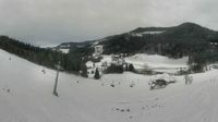 Gemeinde Klosterle: Klösterlebahnen Gerlitzen - Ludwig Amann Haus Edelweiss
 Arriach: Gerlitzen Klösterle
 Arriach: Gerlitzen Klösterle
 Arriach

| today | tomorrow | day after tomorrow | |
|---|---|---|---|
| Dawn: | 7:03 | 6:05 | 6:06 |
| Sunrise: | 7:34 | 6:36 | 6:37 |
| Sunset: | 18:02 | 17:00 | 16:59 |
| Dusk: | 18:33 | 17:31 | 17:30 |