


Hiking, 9 km
12.1.2025
 Česko
Břeclav (Jihomoravský kraj)
Logged on Vrcholovka 2x in total. Spočinek Syslí vrchy was added here by Šárka.
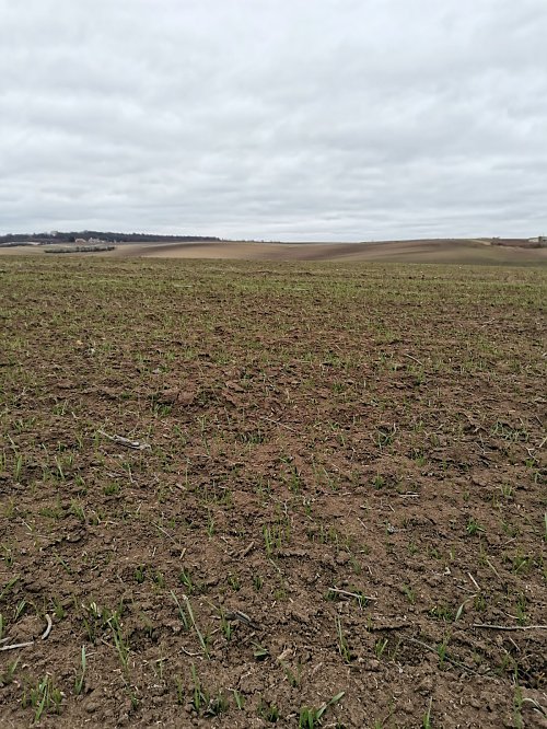
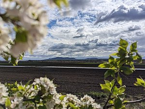
Unmarked peak in a field, with partial views of the Nesyt pond. The name "vrchy" is based on data from ČÚZK.
There is no chalet on the peak.
Peak is not stroller accessible.
There are views from the peak.
There is no cable car to this peak.
No special equipment is required for this summit.
Peak is freely accessible.
Nearest peaks: Chrastiny (292 m, 1.6 km) Liščí kopec (232 m, 2.2 km) Hůrka (246 m, 2.5 km) Stará hora (215 m, 3.5 km)
| today | tomorrow | day after tomorrow | |
|---|---|---|---|
| Dawn: | 5:56 | 5:57 | 5:59 |
| Sunrise: | 6:28 | 6:30 | 6:31 |
| Sunset: | 16:45 | 16:43 | 16:42 |
| Dusk: | 17:17 | 17:16 | 17:14 |