


Hiking, 14 km
28.7.2023

 Rakousko
Logged on Vrcholovka 1x in total. Vrchol Atzingerberg was added here by Bára Barčí and info was completed by Martin Matějka.
Help others and .
There is no chalet on the peak.
Peak is not stroller accessible.
There are views from the peak.
There is no cable car to this peak.
No special equipment is required for this summit.
Peak is freely accessible.
Nearest peaks: Wankrautkopf (1762 m, 1.2 km) Schrambachkopf (Sonnkogel) (1856 m, 2 km)
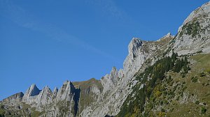 Pinzgauer Spaziergang - jedna z nejkrásnějších túr ve Východních Alpách
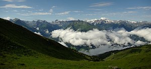 Přechod hřebene Steinberge
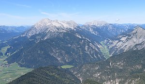 Přechod hřebene Berchtesgadenských Alp: Breithorn - Schönfeldspitze
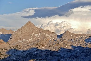 Kitzsteinhorn turisticky
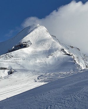 VHT přechod hřebene Vysokých Taur - Alpská maturita
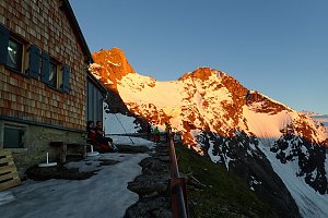 Výstup na Großes Wiesbachhorn
 Grosses Wiesbachhorn (3564 m) – výstup na žraločí ploutev Vysokých Taur
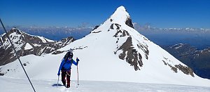 Trek Berchtesgadenskými Alpami
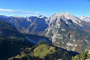 Túra údolím řeky Wimbach za pohodou!

 Maishofen › East: Maishofen Ortsmitte - Maishofen-Saalbach
 Atzing: Hotel Victoria, Maishofen
 Zell am See: Sonnkogel
 Zell am See: zellamseeXpress
 Kammer: Maishofen - Schloss - Blick nach Süden
 Zell am See: airport west
 Zell am See: airport north
 Zell am See: Hotel Berner
 Viehhofen: Maishofen - Sausteige - Blick nach Südosten
 Zell am See: Kaprun - Blick zum Kitzsteinhorn und zur Schmittenhöhe
 Viehhofen
 Zell am See: Thumersbach - Lake Zell - Schüttdorf - Schmittenhöhebahn Zell am See - Kaprun - Kaprun
 Viehhofen: zellamseeXpress
 Zell am See: Schmittenhöhe
 Piesendorf: Schmittenhöhe
 Zell am See: Schmitten Kapelle - Schmitten
 Zell am See: Schmitten
 Zell am See: Thumersbach
 Zell am See: FlyingCam
 Dürnberg: Glocknerwiese Areit
 Aufhausen: E-Motocross Park Areit: E-Motocross Park Areit Schmittenhöhe
 Zell am See: Appartement ZellamSee - areitXpress - Schmittenhöhe - Kitzsteinhorn Gletscher
 Zell am See › South-West
 Zell am See › North
 Zell Am See › South-East
 Piesendorf › South-West: Volksschule Piesendorf − Piesendorf Bundesstraße − Familieberg Maiskogel

| today | tomorrow | day after tomorrow | |
|---|---|---|---|
| Dawn: | 7:07 | 7:09 | 6:10 |
| Sunrise: | 7:38 | 7:40 | 6:41 |
| Sunset: | 18:07 | 18:05 | 17:03 |
| Dusk: | 18:38 | 18:37 | 17:35 |
